The highest in Maryland
Just before my last semester in college I had gotten into highpointing when I spent the summer in Montana. I hit several highpoints on the way back and decided I should take a day and hit the ones closer to my school. My college was in Central Pennsylvania, not far from the highpoints of West Virginia, Pennsylvania, and Maryland.
This first trip, I successfully reached Spruce Knob in West Virginia, and successfully hit Mount Davis in Pennsylvania. Sandwiched between these two was Backbone Mountain.
That first trip I found the trailhead alright, with a little sign saying MD Highpoint.
![The sign to the trail is...]() The sign
The sign
I took the wide trail up the mountain. It is pretty steep, reaching the summit in less than a mile.
![The trail to the summit of...]() The trail
The trail Once I got up there, however, I found only the WV/MD state line marker. I couldn't find the actual highpoint. Not seeing higher ground, I left and headed for Pennsylvania.
It frustrated me for three years that I didn't find the actual highpoint, so I decided to go back. This time I would check out Backbone Mountain and other high peaks in Potomac State Forest in Western Maryland, about 20 minutes away.
So in May of 2004, I went back to the highpoint of Maryland with a friend of mine. We drove from Washington DC, which is a long drive, about 3 hours. However, we tried to take US-50, which is the wrong way to go from Washington DC. The road is hard to find from Winchester, and it is better to simply take I-270 to I-70 West to I-68 past Cumberland.
When we finally got to the trailhead our plan was to do the highpoint as a warm up for a longer hike in Potomac State Forest. At the trailhead, the elevation is over 2500', as you reach a plateau in Western Maryland. The highpoint is not really celebrated, perhaps because there is no spectacular view from the summit, or because most people in Maryland consider this part of Maryland part of West Virginia. For most people in Maryland, Backbone might as well be in Louisiana, for as far out as it is from DC, Baltimore, even Cumberland. The view of the mountain from the road is not too impressive, as it looks just like a big hill. It is deceptive how much higher it is than the actual road.
When we got to the road, we parked on a pack of dirt right off of 219. I had done it before, so I knew my car would be fine. We took the trail right off the road and followed the red 'HP' marks up the steep trail. It got steeper and steeper as we went up, even steeper than I remembered the first time. By the last 1/4 mile, the trail is very steep, and our speed was reduced dramatically. However, we had been going at a blistering pace, and we had made it almost to the summit area in about 15 minutes. In this case, the "summit area" is where the steep slope stops, and you stop walking up, and instead walk towards the center of the mountain. This point is about a mile in. We followed red marks to go left towards the highpoint. I saw a small red sign to the MD/WV marker and the highpoint.
We took a right, went downhill for a bit, but came back up and reached the top, where I relieved myself on the actual highest point in Maryland, out of anger for being thwarted the first time.
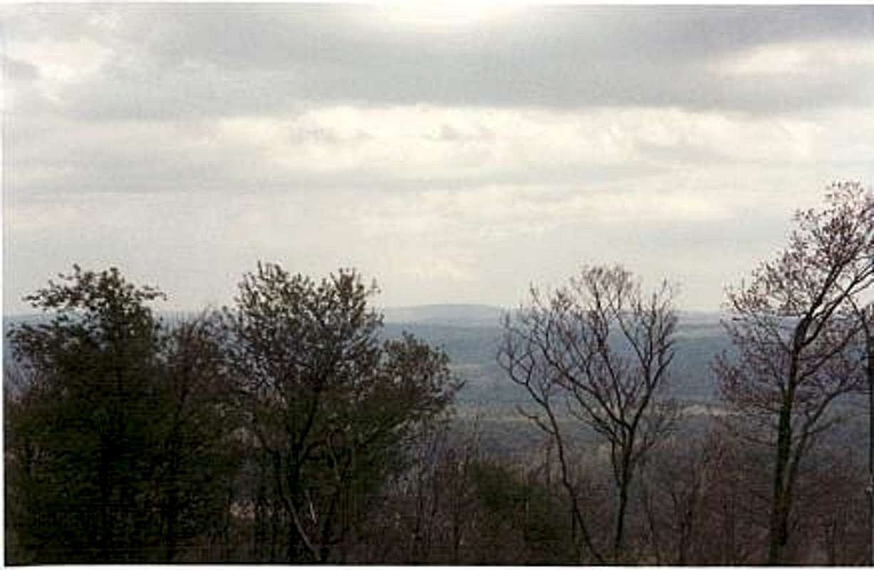 View from the summit
Potomac State Forest
After the summit we headed to Potomac State Forest and hiked to
Eagle Rock.
To get there we went north on Rt. 219. After taking some side roads we entered the park. We followed signs to the visitor center, and tried to ask a ranger about day hikes, but no one was there. No decent trail maps, topos, or even identifications of mountains. Potomac State Forest is home to nearly all of the other 3,000'+ peaks in Maryland, so it was interesting to visit. We drove past the visitors center, and tried to identify a mountain route. We found a nice trail on North Hill road, that took us 2 1/2 miles and 600 feet up into the middle of the wilderness, onto a nice meadow. However, there were no summits up there, just the meadow, and trails down. I decided that we would cap the day with Eagle Rock, a 3160' mountain which is conveniently located at the end of Eagle Rock Road. At the end of the road, it is only a quarter mile and 100 feet up to the summit, but on a longer day, I would hike the road, which is much steeper and longer. The summit area is very odd. There are white and peach colored rocks and boulders. We climbed up to the summit area, which actually was kind of tricky, because it was steep rock. We got to the top and walked through a dense little trail to the highest boulder, and took in the view, which was nice, though not mindblowing.
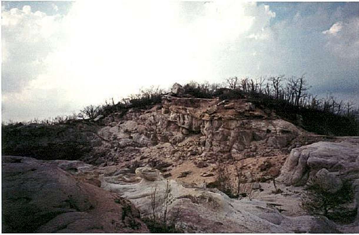 The summit
Conclusion
This area of Maryland is not really a prime hiking destination. Some of the lower peaks, like Sugarloaf (closer to Washington DC) are nicer than the mountains out here. If you climb Backbone, you should make it a 3-highpoint trip, because Spruce Knob is an hour or so South, on a different road. You'll drive past Seneca Rocks on the way, which is a very interesting structure, and has its own page on SP (for West Virginia). To the North, if you follow 219, you are on the main road that takes you to Mt. Davis, the highpoint of Pennsylvania. All three of these hikes are minimal, because the summits, are all near a highly elevated road, and require little vertical hiking. If you want a good hike when you are out in this area, then head to Shenandoah National Park in Virginia, where the hiking trails are superb. The park is about two hours away from Backbone.


Comments
Post a Comment