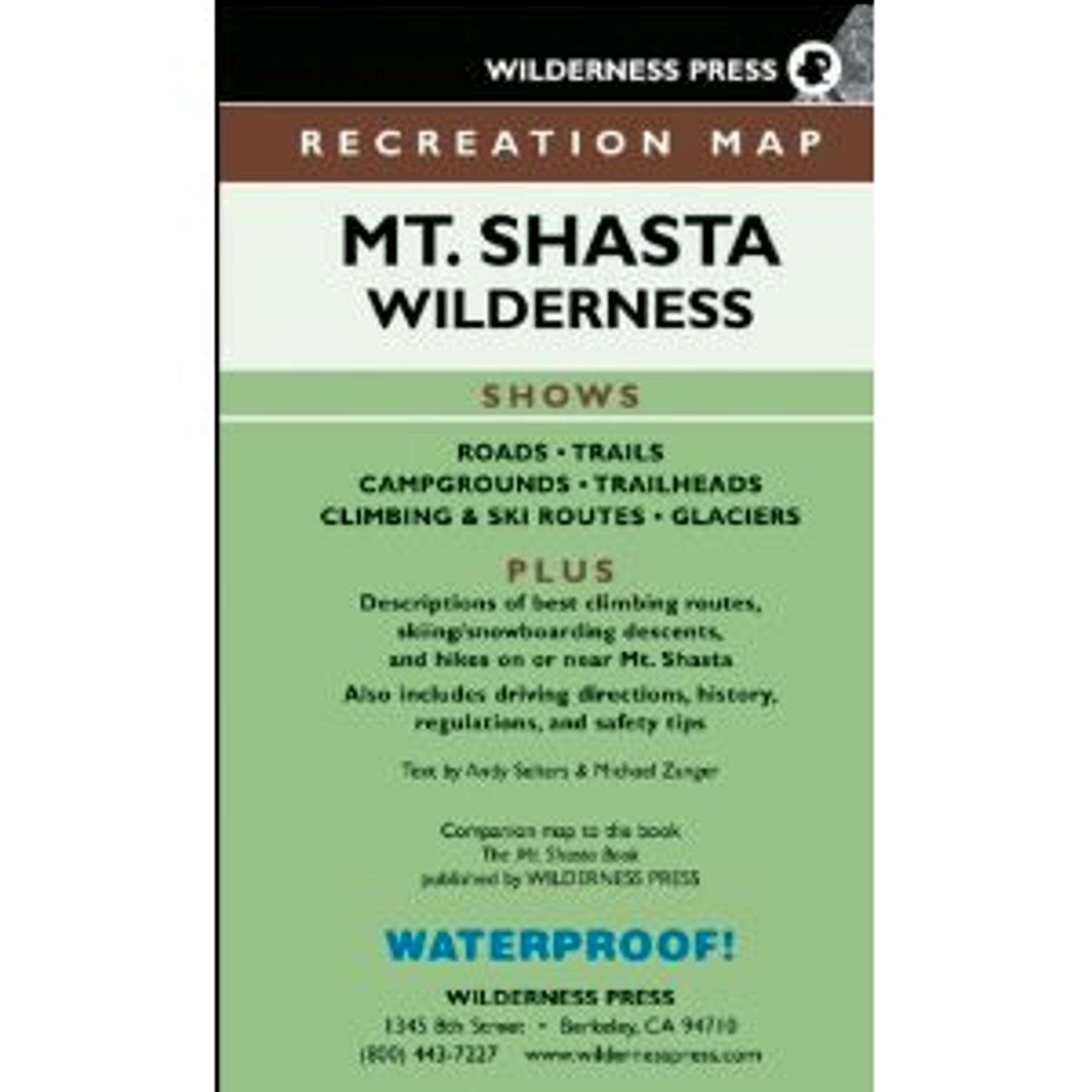
Mt. Shasta Wilderness Recreation Map
Product Description
This plastic map shows all the trails and climbing routes on Mt. Shasta. It also gives the difficulty rating of the climbing routes. (Scale 1:24,000)
Publisher: Wilderness Press; Third Edition edition (April 25, 2005)
Language: English
ISBN-10: 0899973906
ISBN-13: 978-0899973906
Product Dimensions: 4.4 x 7.5 x 0.2 inches
  |
Images
 |
OOG - Dec 2, 2011 12:41 am - Voted 4/5
Good overview, but lacking detailMy only complaint about the map is the somewhat small scale. Set at 1:24000 it is quite a bit smaller than the standard USGS topo maps. The contour interval is 100 feet. This lack of detail makes it less useful for climbing. Mostly the map is good for navigating the forest roads at the base of the mountain and getting a rough idea of where a climbing route goes, but not so much for on the ground navigation.
Note: this map is included in the most recent (3rd) version of Setlers' and Znager's, The Mt. Shasta book. The second edition comes with a more detailed USGS based topo that is more useful for on the ground navigation, but doesn't show the roads and trails on the lower mountain as well.