
Comments
No comments posted yet.
|
|
Trip Report |
|---|---|
|
|
51.67500°N / 116.3723°W |
|
|
Nov 30, 0000 |
|
|
Summer |
Trip is 1100 m day and is rated difficult in Kane guide book. Class 3/4 scrambling on very rotten loose rock.
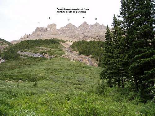
Approach by the good hiking trail which starts on the north side of where Helen Creek crosses the highway. The trail goes up over a ridge and then back down along the left side of the creek. Follow the trail which crosses the creek until you reach the fourth avalanche path. This leads up to a gully between peak 3 and 4.
Note on Dow's route page he went up the second avalanche path and went up the gully between peak 4 and 5.
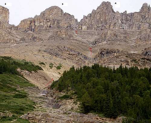
closeup of ascent gully. We used the ridge on left of gully to descend on scree and then dropped back into gully at treeline.
Trip is 1100 m day and is rated difficult in Kane guide book. Class 3/4 scrambling on very rotten loose rock.
Ascend the rock gully between peaks 3 and 4 and when gully splits take the RH branch.
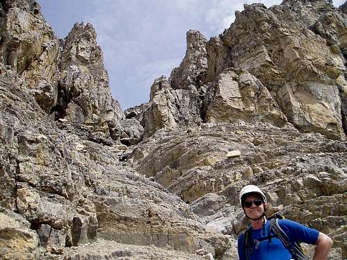
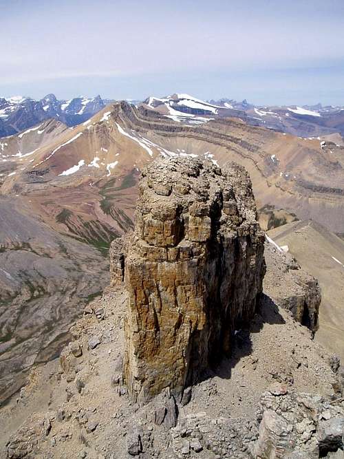
Go up to base of yellow layers and follow ledges right around buttress under yellow rock to cairn and then up a hidden gully/groove to summit of peak 4.
To ascend peak 3 - go along base of peak 3 past first chimney to a second one which can be scrambled.
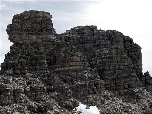
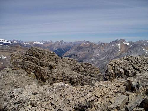
Looking down on peak 2 which is a climb.
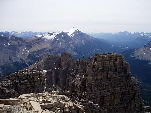
Looking South at peak 5 and Mount Hector.
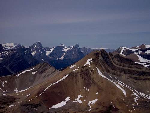
Looking North at Cirque Peak with the Lyalls, White Pyramid, Chephren, etc.
More pics at https://billkerr.zenfolio.com/p208037199
Standard scrambling gear. Rope not usefull and even dangerous as rock is rotten and very loose.