Diving Board - Route Images
I've been up to the Diving Board from Happy Isles a couple of times. It's one of the best hikes out of the valley, but it can be one of the most nerve racking due to potentially difficult route finding. Here are some photos I've taken from those two hikes and a separate hike up to Liberty Cap that will hopefully provide some more information on how to get up there.
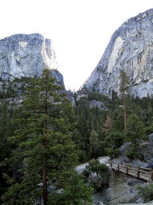
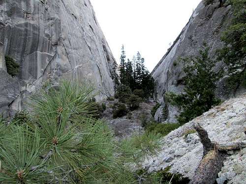
The main Diving Board page suggests leaving the Mist Trail while heading right between Liberty Cap and Mt. Broderick and going directly up the canyon between the two. If you want to do this, leave the trail shortly after this bridge:
![The suggested place to leave the trail]() The suggested place to leave the trail
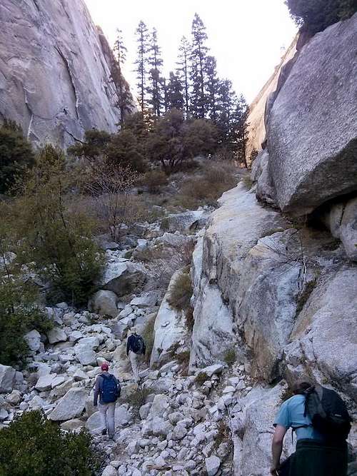
The suggested place to leave the trailThere's another way to get into that canyon that leaves the trail right when it hits the base of the face of Liberty Cap. Right where the main trail hits Liberty Cap, there's a use trail that hugs the bottom of Liberty Cap and wraps all the way around back into the gap. The advantage of this route is that you get to gain elevation on the main trail and there's no scrambling.
![The use trail from near Nevada Falls across the bottom of Liberty Cap]() The use trail from near Nevada Falls across the bottom of Liberty Cap
The use trail from near Nevada Falls across the bottom of Liberty Cap
![Where to leave the trail]() Leave the trail here
Leave the trail here
![Beginning of the use trail]() Beginning of the use trail
Beginning of the use trail
The trail wraps around to a point on top of a bluff about 50 feet above the gap. From there, you can drop into some bushes and make it down to the gap itself. Here are some pictures of that spot.
![At the cliff above the canyon]() At the cliff above the canyon
At the cliff above the canyon
![Top of the cliff]() Top of the cliff
Top of the cliff
![Down into the gap]() Down into the gap
Down into the gap
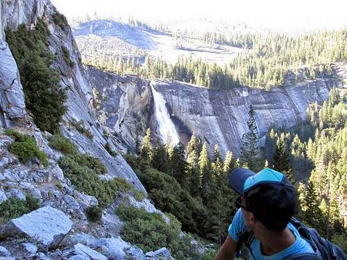
After going through the gap, cross the creek and find a trail that will take you between the Lost Lake and Mt. Broderick. This trail will go uphill up to the top of the saddle between Broderick and Half Dome. Around here there are several use trails that break off the main use trail to the right and begin to go up the slope on the back of Half Dome. These are access trails for rock climbers. It's possible to get to the Diving Board from up on these slabs, but it involves a bit of climbing. I went up one of these the first time and ended up having to traverse across the slabs in the picture below to the trees in the distance.
![Not the easiest way up]() Not the easiest way up
Not the easiest way up
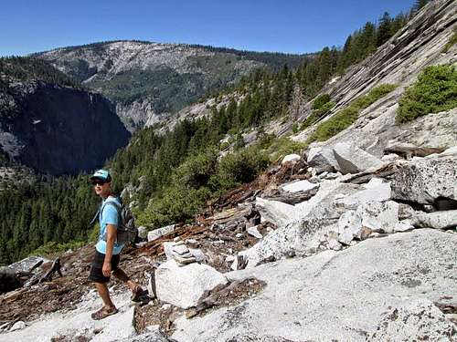
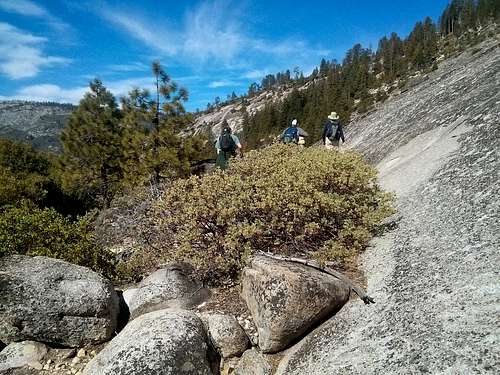
If you're hiking this and don't want to do any climbing, it's important to continue down the other side of the saddle and follow the cairns down about 200 feet across a creek. From the creek, follow the markers diagonally up the slope on the other side. It's easy to lose the use trail if you're not careful, so take your time and lookout for cairns. Generally, they'll take you steeply up the hill between two cliff bands (one below and one above). There's one ~20ft section on the trail that involves a scramble. It can be avoided, but it's easiest to go up it. At the top of the steeper sections, I would stay as far left as possible to ascend the easier open terrain. After getting close to the top of the ridge, traverse all the way right to the last hill below the Diving Board.
![Mt.Broderick - Half Dome Saddle]() Mt. Broderick - Half Dome Saddle
Mt. Broderick - Half Dome Saddle
![Easiest route up to the Diving Board]() Easiest route up to the Diving Board
Easiest route up to the Diving Board
Comments
No comments posted yet.