
|
|
Mountain/Rock |
|---|---|
|
|
38.56840°N / 106.34465°W |
|
|
Chaffee |
|
|
Mountaineering |
|
|
Summer |
|
|
12955 ft / 3949 m |
|
|
Overview
East Face, Right to left:Clover Mountain, Point 12535 ft & Bald Mountain
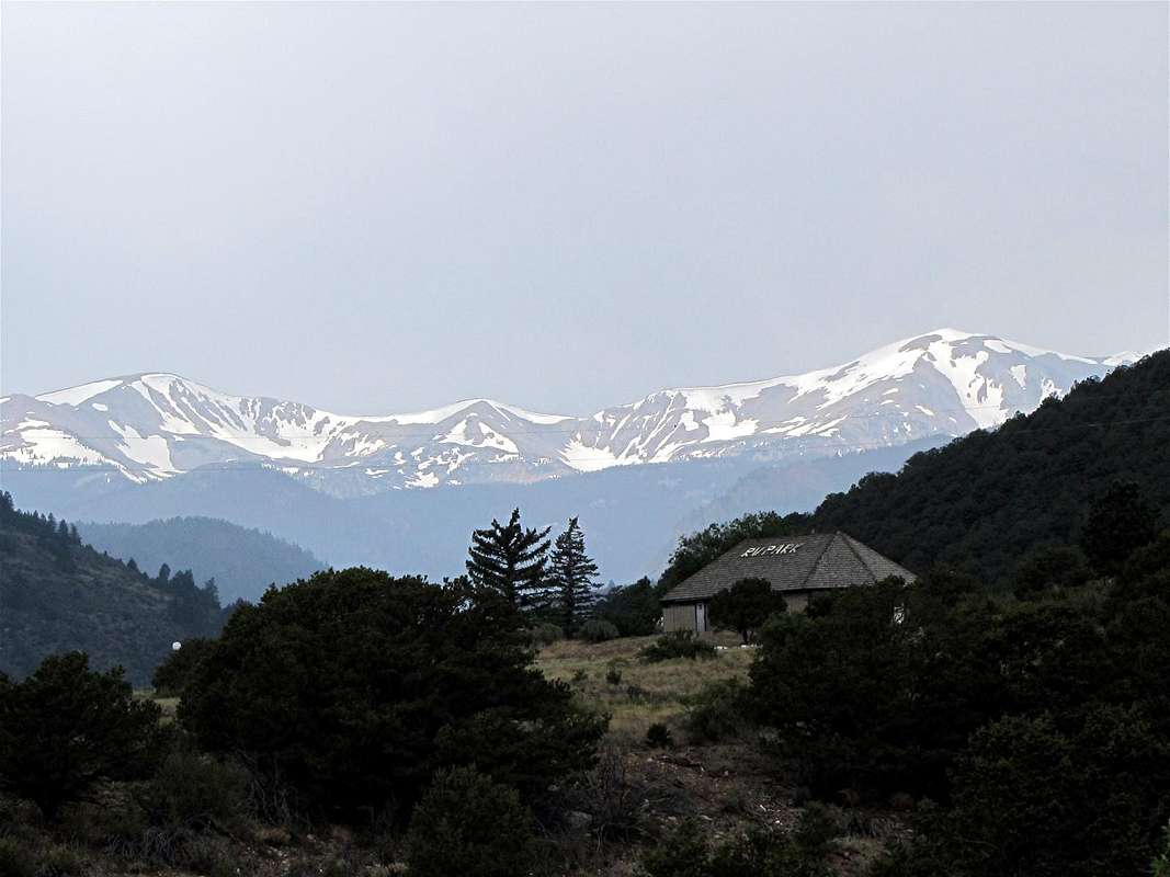
Clover Mountain sits on the continental divide in the Sawatch Mountains of central Colorado near the town of Salida. It is well visible from Monarch Pass on U.S. Route 50.
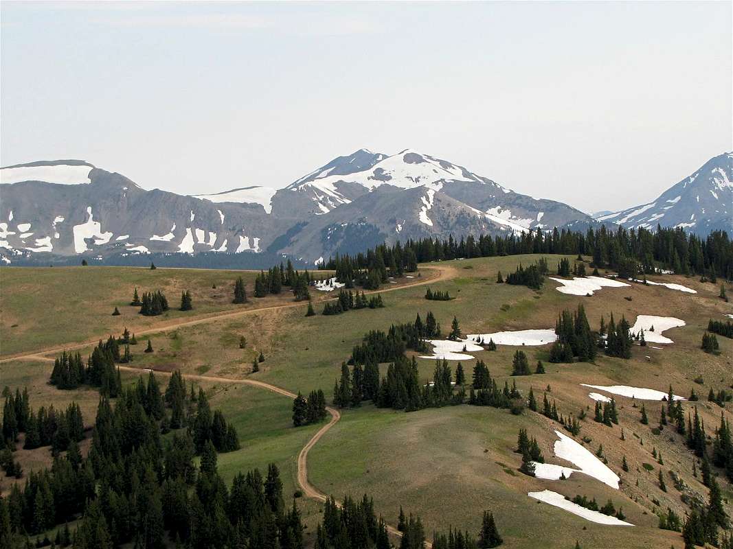
To the north, Clover Mountain is connected to the 12973 ft Vulcan Mountain and to the south, it connects to the 12855 ft Bald Mountain (via Point 12535 ft). To the southeast of Clover Mountain, you will find a number of lakes. These include Boss Lake (10900 ft), Hunt Lake (11500 ft) and a few other ponds higher in elevation.
Boss Lake is a short hike from Route 50. A portion of the Continental Divide Trail goes from Boss Lake to the top of Point 12535 ft where you can leave trail and follow an easy ridge-top to reach the summit of Clover Mountain.
South Face. Clover Mountain in the middle, Monumental Peak rising behind/to the left of it
Getting There

Clover Mountain & Hunt Lake
From Route 50, you can reach Boss Lake by going to Road 230 and then following the Continental Divide Trail. A more direct route is to take Road 235 (230 and 235 are both rough 4WD roads).
Directions to Road 235:
From the junction of Route 50 and Route 285 North in Poncha Springs, drive Route 50 13.1 miles west (or drive 4.4 miles east from Monarch Pass). Road 235 is an inconspicuous road branching off of the west bound side of Route 50. It does however, have a small sign that identifies it. You can park in the pull-off on the side of the road.
From Monarch Pass
Route: via Hunt Lake Trail
All distances are per my GPS. Map Map |
Start hiking up Road 235. After around 0.1 miles, you will reach an intersection. You must turn left here. The road is steep in some places. It goes through first an Aspen and then a Pine forest.
 Road 235 Road 235 |  Road 235 Road 235 |
You will then reach Boss Lake. The lake is actually a few tens of feet below the road and for the most part remains hidden behind the trees. You will have your first glimpse of Clover Mountain.
 First glimpse of Clover First glimpse of Clover |
You will then reach the Continental Divide Trail. Follow the trail west through the pine forest until you reach Hunt Lake.
 Hunt Lake & Clover Hunt Lake & Clover |  Near Hunt Lake Near Hunt Lake |  Hunt Lake & Mt. Aetna Hunt Lake & Mt. Aetna |
Above Hunt Lake, the forest slowly goes away. The trail takes you to a few ponds at the base of the summit of Bald Mountain.
 Bald Mtn. Bald Mtn. |  Bald Mtn. Bald Mtn. |
The trail then start to go up the slopes of Point 12535 ft. You will have good views of the lakes below.
 Hunt Lake Hunt Lake |  Pond Pond |
At the top of Point 12535 ft, the summit of Clover Mountain comes to view to the north.
 Summit Summit |
Leave trail and head north toward Clover Mountain. You first have to go down to a 12380 ft saddle before you can reach the base of the summit of Clover Mountain.
 Ridge-top Ridge-top |  Ridge-top Ridge-top |
Views from the summit of Clover Mountain:
 Bald Mountain Bald Mountain |  Monumental Peak Monumental Peak |  Mt. Aetna Mt. Aetna |
 Looking N/NE Looking N/NE |  Looking west Looking west |