
|
|
Mountain/Rock |
|---|---|
|
|
33.42861°N / 105.83571°W |
|
|
Download GPX » View Route on Map |
|
|
Hiking, Mountaineering |
|
|
Spring, Summer, Fall |
|
|
10255 ft / 3126 m |
|
|
Overview
Rank: White Horse Hill is New Mexico’s 175th highest ranked peak
Prominence: 375 ft
White Horse Hill sits in southern New Mexico’s White Mountain Wilderness to the north of Sierra Blanca Peak. A trail traverses the northern slopes of the hill more than 250 vertical feet below its summit. A hiker can leave trail and easily go up the grassy slopes to reach the summit.
I will describe here a 10.6-mile lollipop loop hike that starts at Argentina Canyon Trailhead, goes up Aspen Canyon Trail to the summit of Wild Horse hill, then down Big Bonito Trail to return to the starting point.
Getting There
Directions to Argentina Trailhead:
From Ruidoso, New Mexico, drive roughly 10 miles north on Route 48 to reach the junction with Route 37. Follow Route 37, 1.3 miles north (west) and turn west onto Forest Road 107 (Bonito Reservoir Road). Continue the road 8.5 miles to the end of it at Argentina Canyon Trailhead. Forest Road 107 is not paved. When I was in the area, it appeared that under dry conditions, Forest Road 107 should be passable by any vehicle.
Route/Trip Report
Hike Length: 10.6 miles loop (4.75 miles via Aspen Canyon, 5.85 miles via Big Bonito Canyon)
Elevation at Argentina Canyon Trailhead: 7815 ft
Elevation of White Horse Hill: 10255 ft
Total Ascent per my GPS: 2650 ft
Sunday May 1, 2022
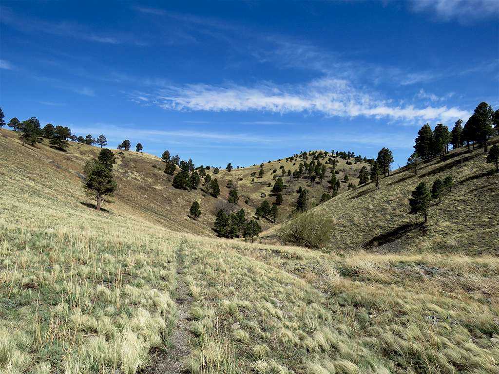
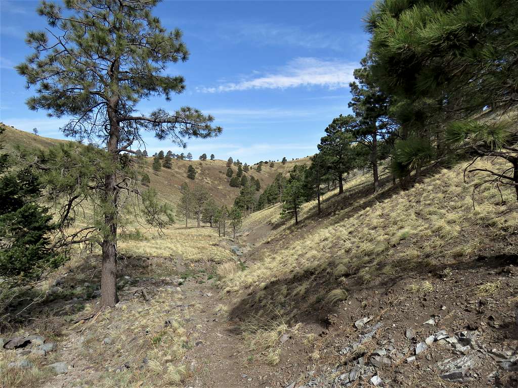
Started my hike at Argentina Trailhead at 6:30 a.m. when it was 34 degrees F. Did not see any other hikers until my return trip. Got on Big Bonito Trail which followed a dry streambed at the bottom of a mountain valley in the forest. Everything looked very dry. Farther up, a trickle of running water appeared in the stream. At a signed junction with Little Bonito Trail, turned left and continued on Big Bonito Trail until at 7:17 a.m., 2 miles of hiking and 8175 ft elevation, I reached the signed junction with Aspen Canyon Trail.
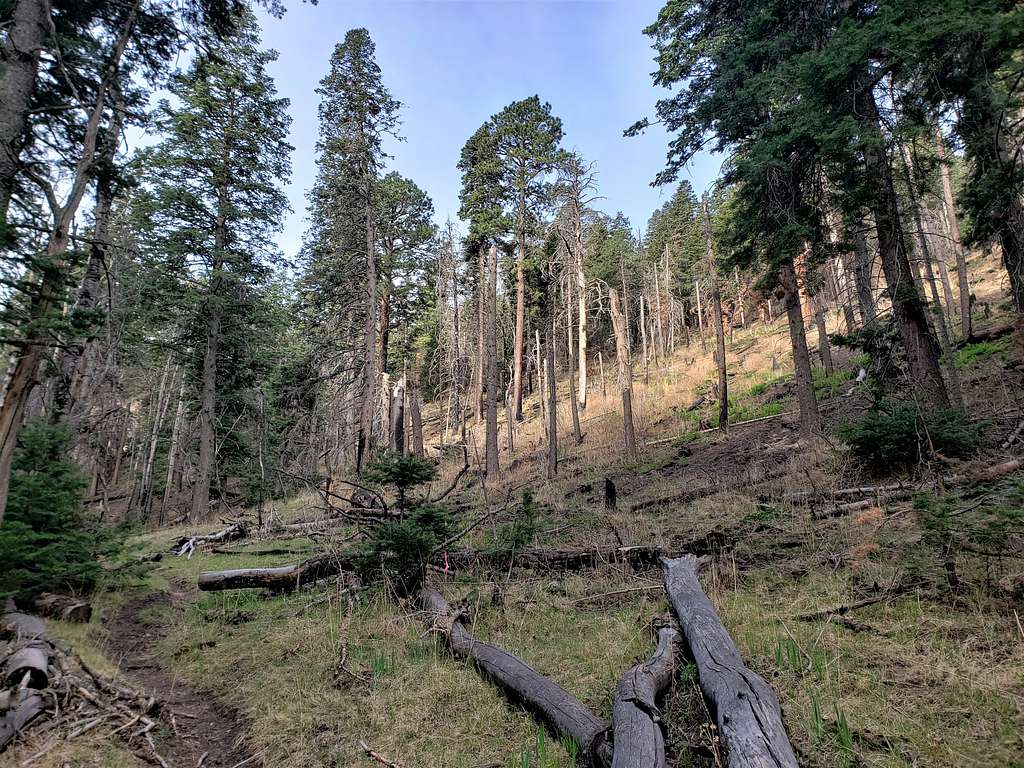
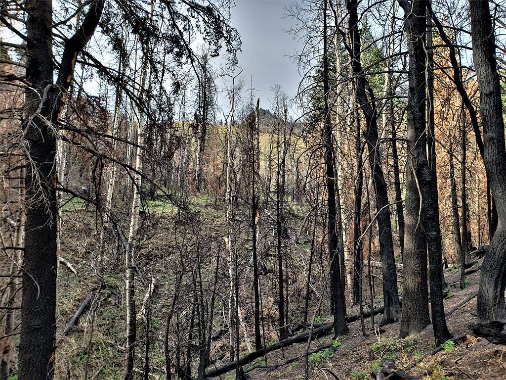
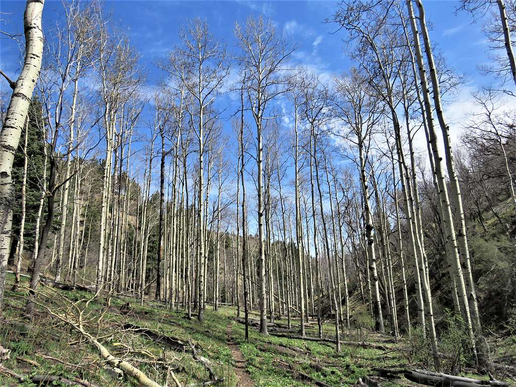
Turned left onto Aspen Canyon Trail and quickly went up in elevation in a forest of pine and deciduous trees that were still bare. The tip of the prominent Nogal Peak appeared behind me at times to the north.
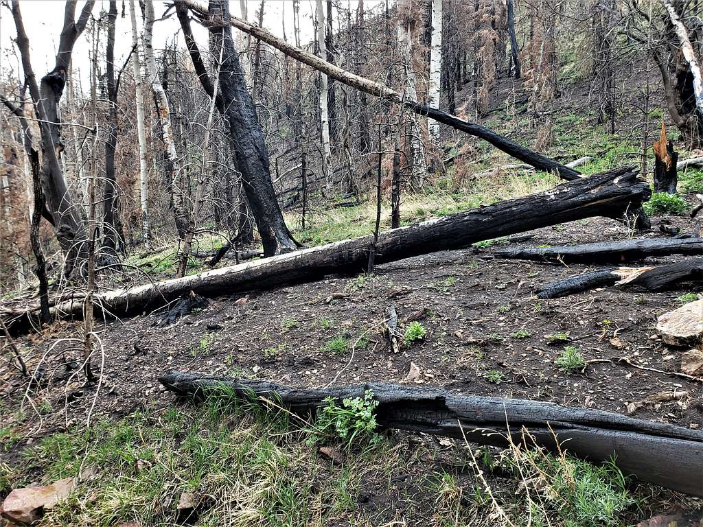
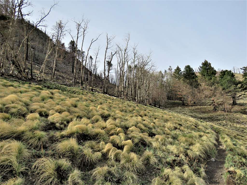
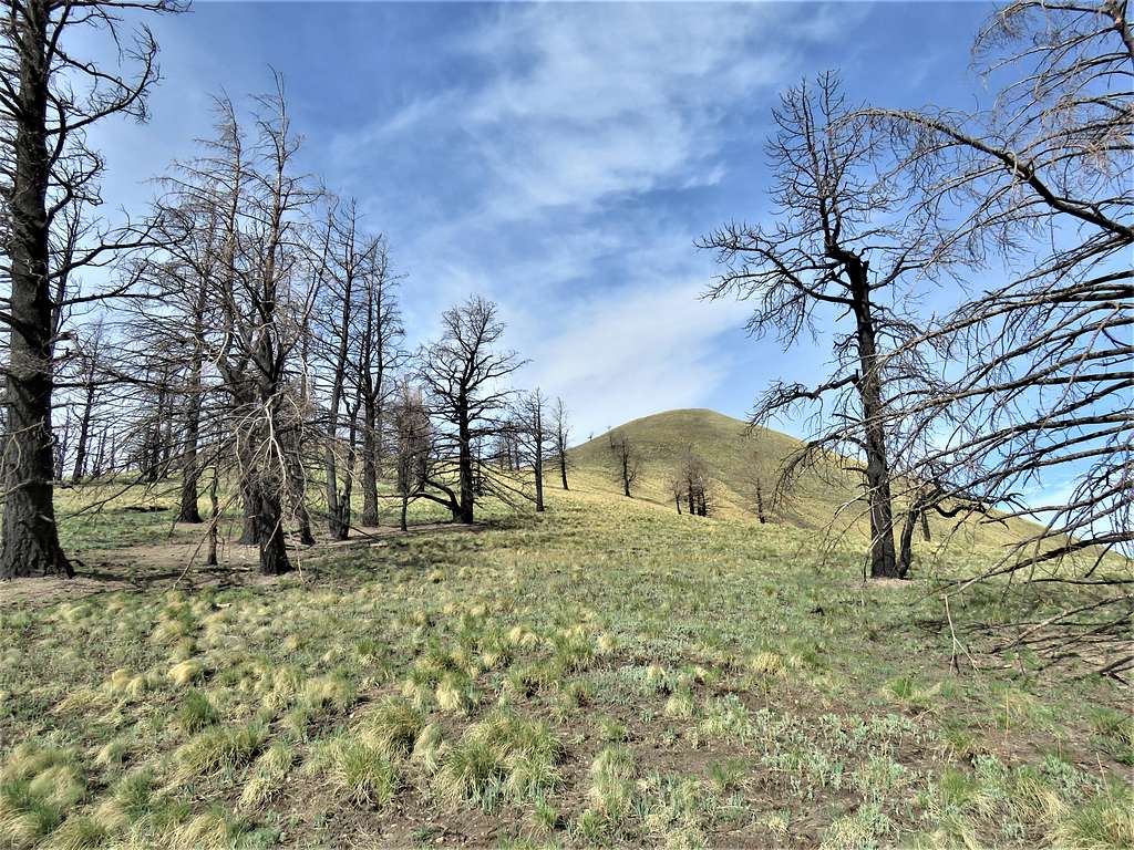
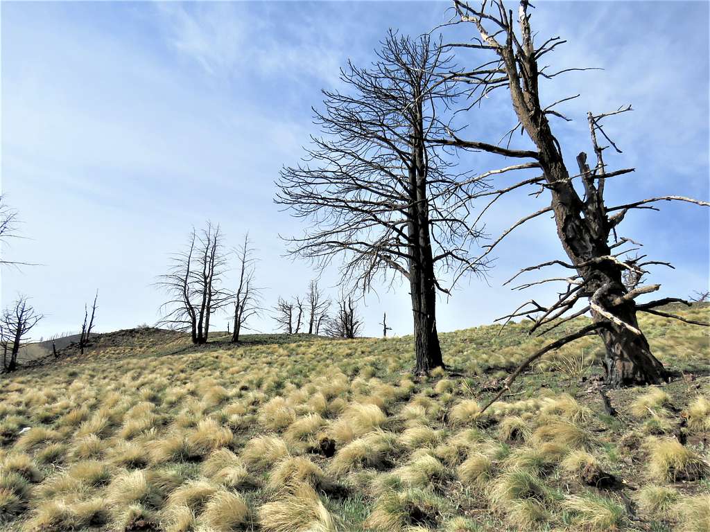
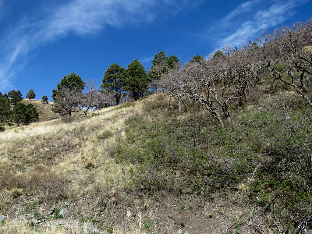
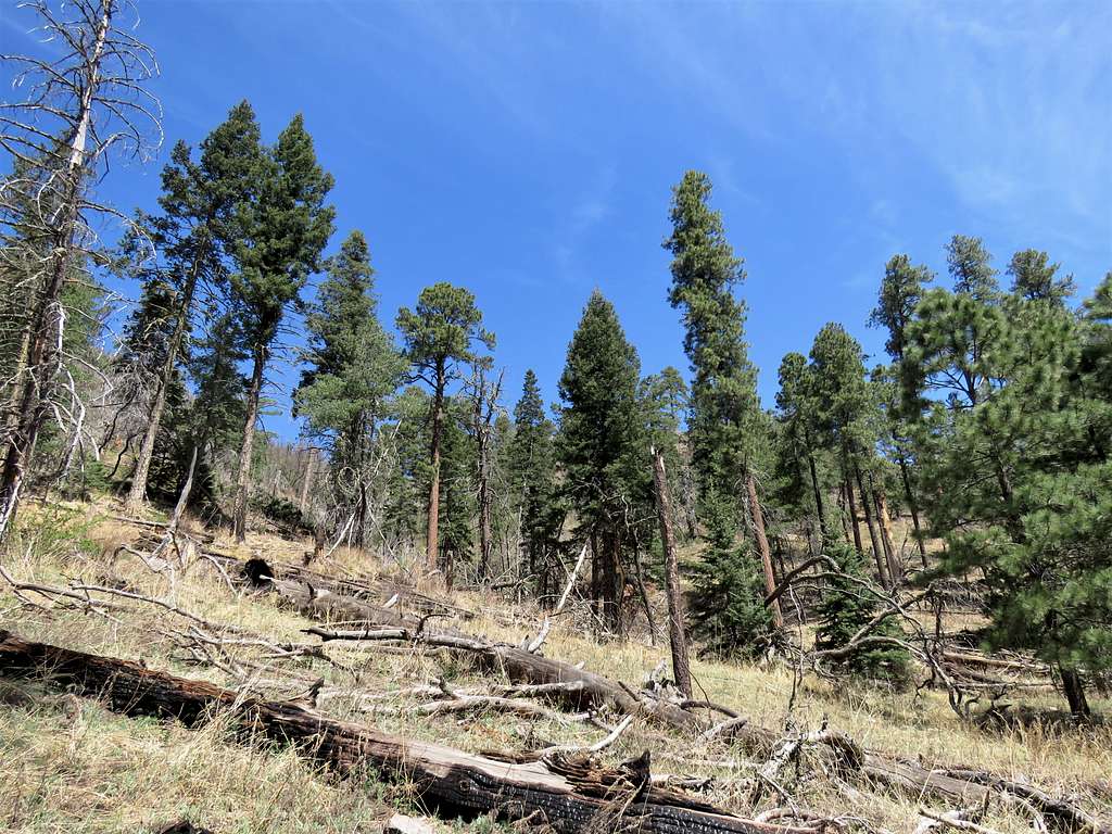
An area of burnt trees.
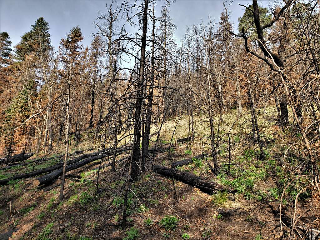
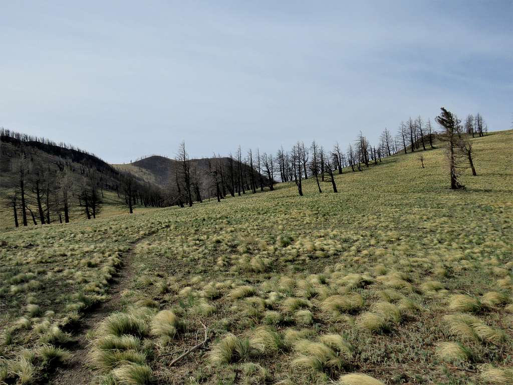
Forest began to thin out.
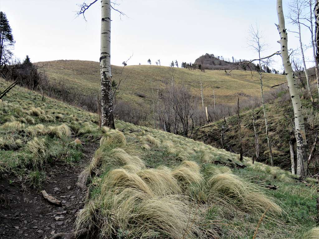
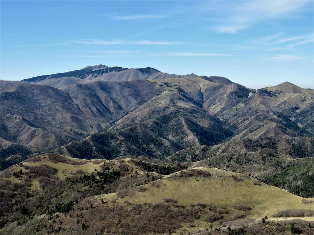
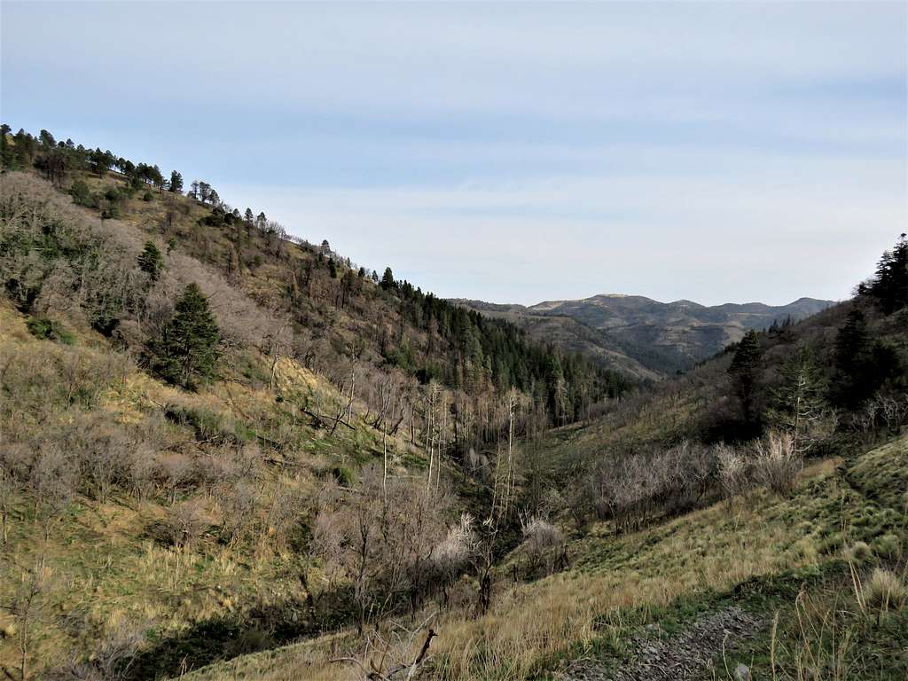
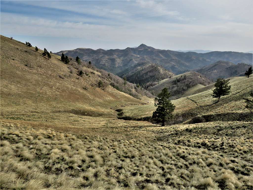
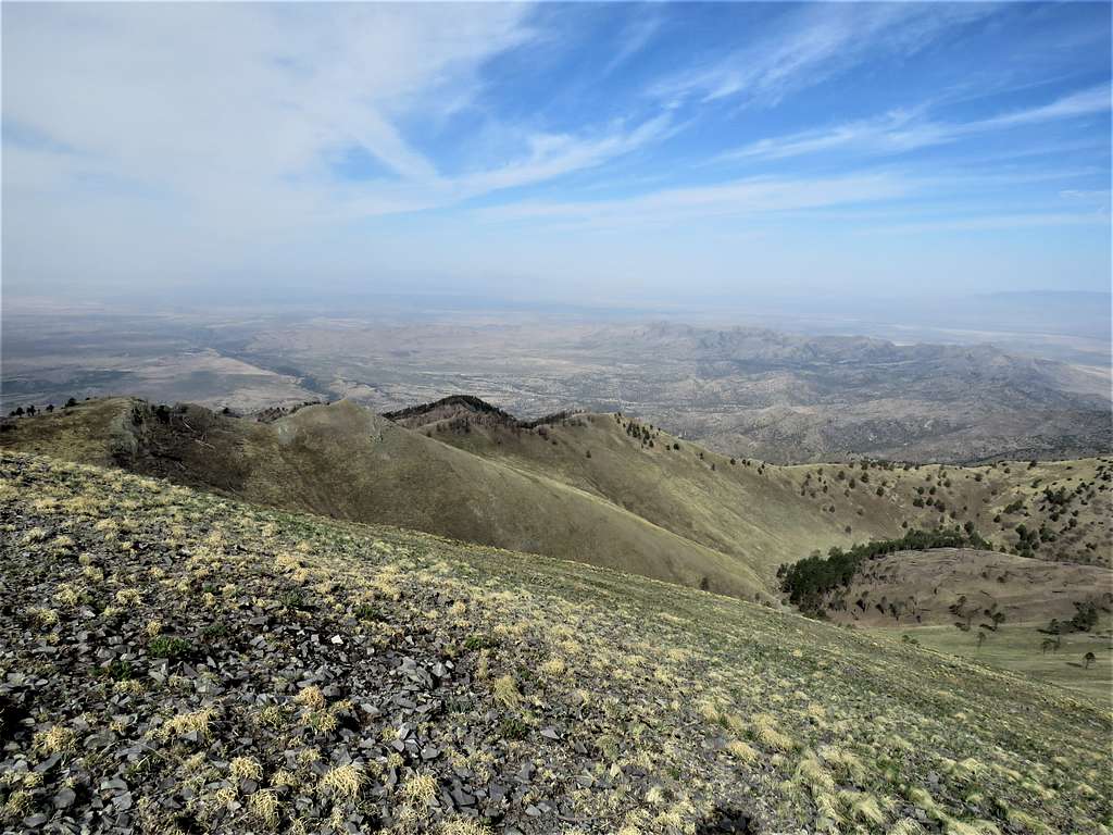
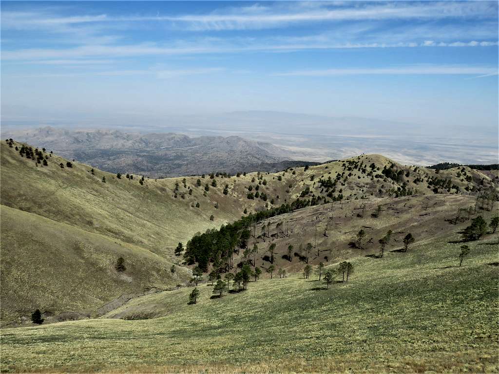
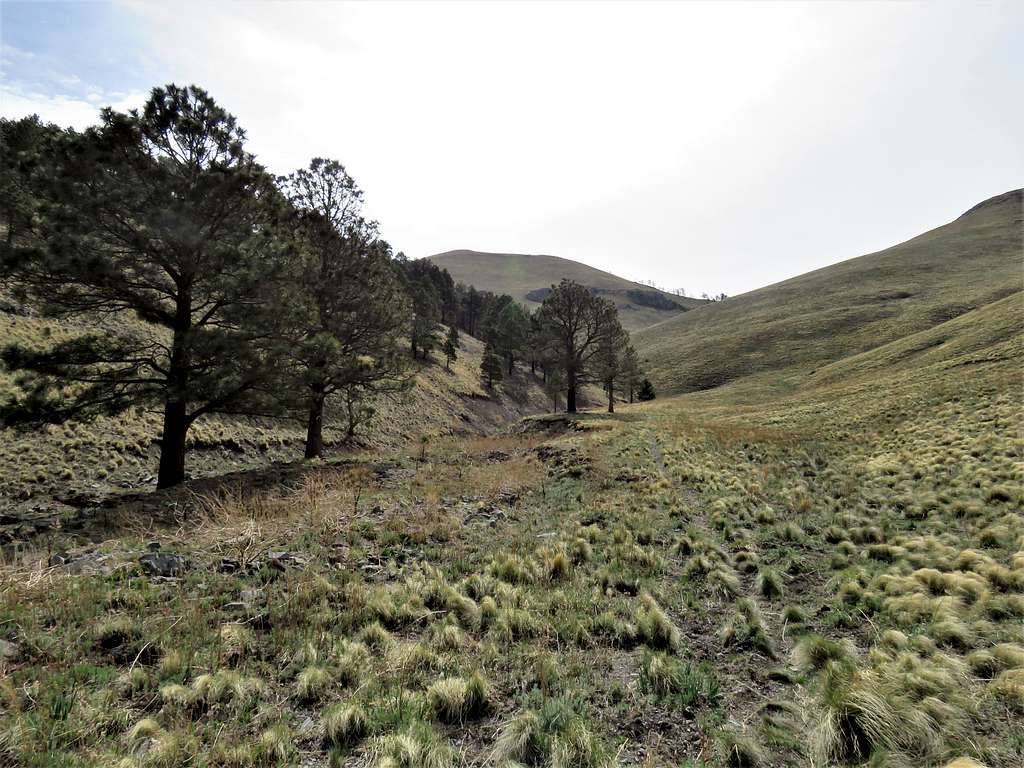
Looking back into Aspen Canyon with Points 9500 ft and 9345 ft in the back.
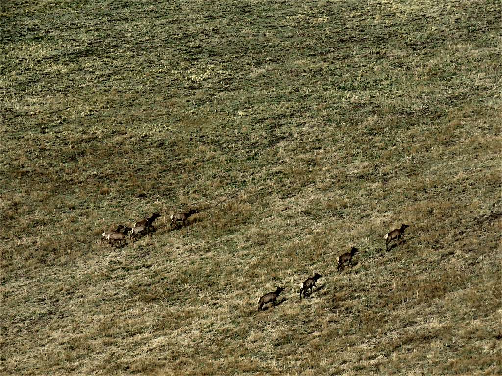
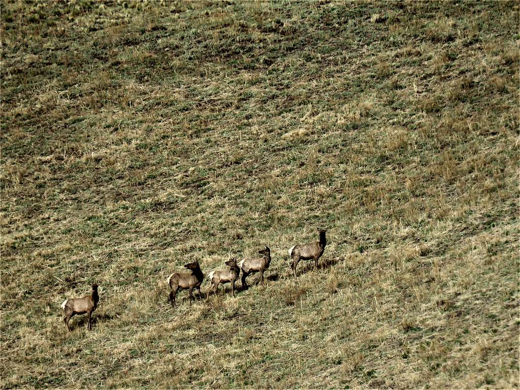
Zoomed view of a herd that quickly began to move away.
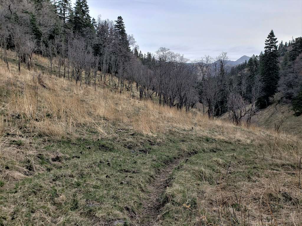
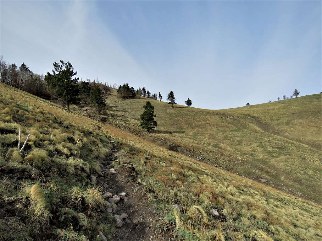
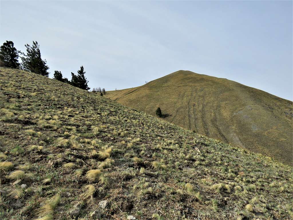
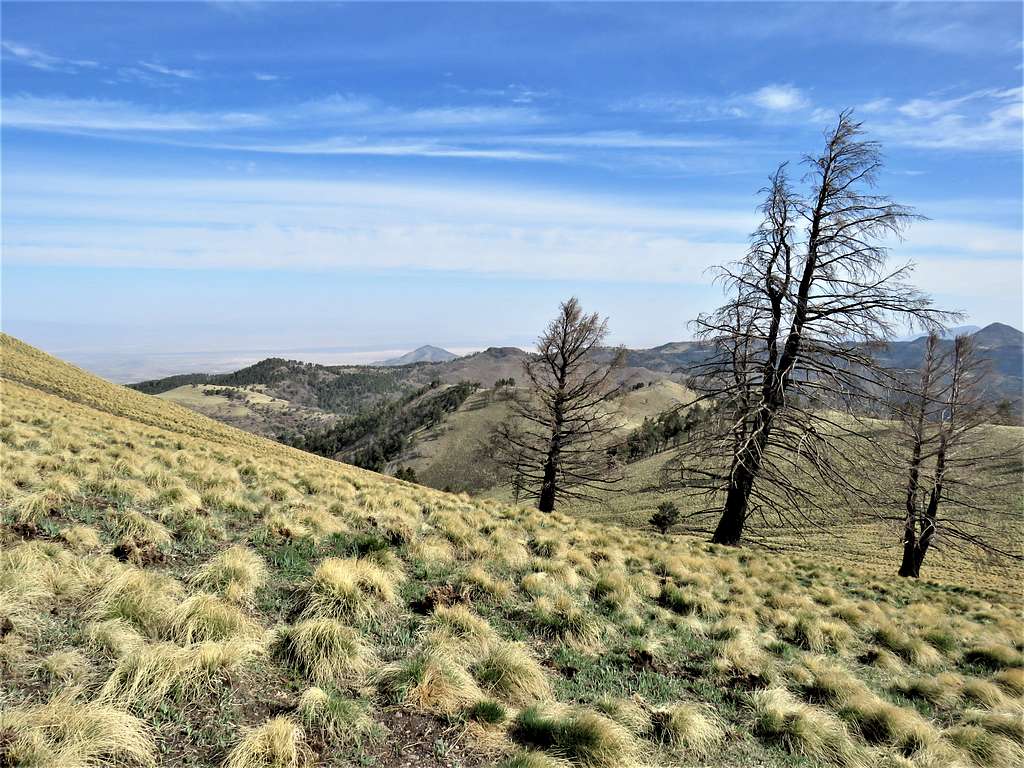
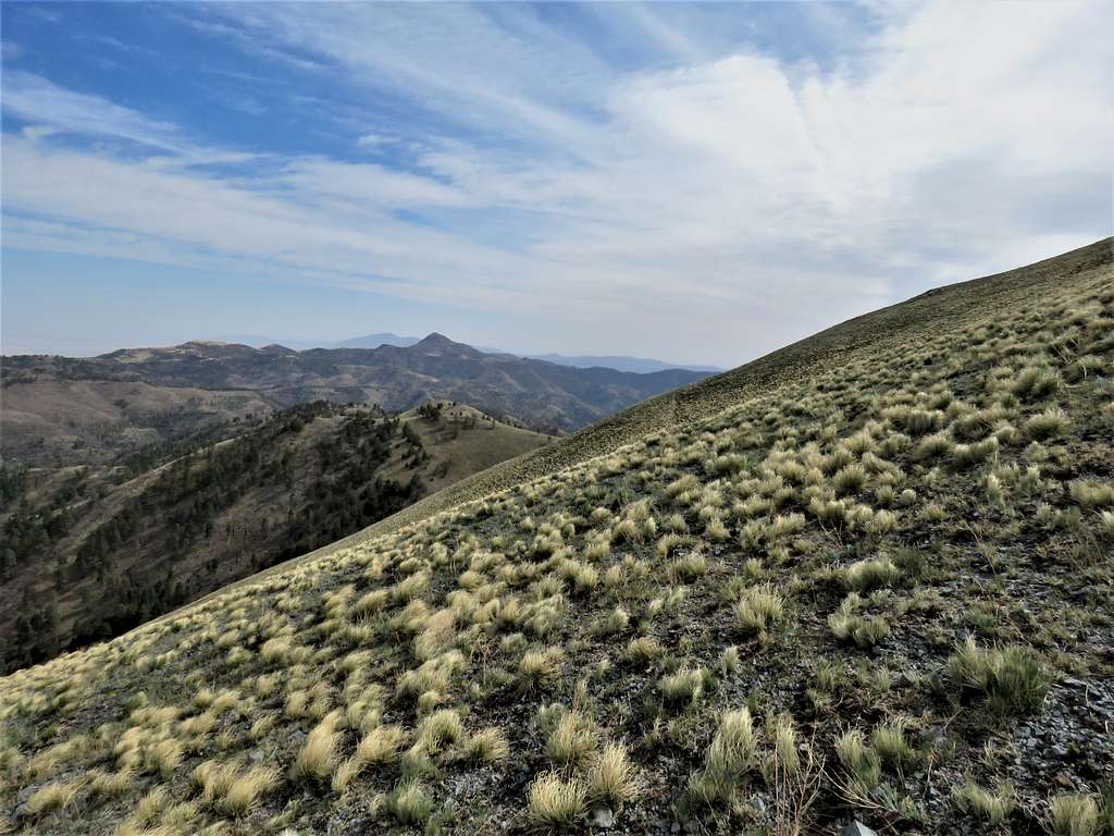
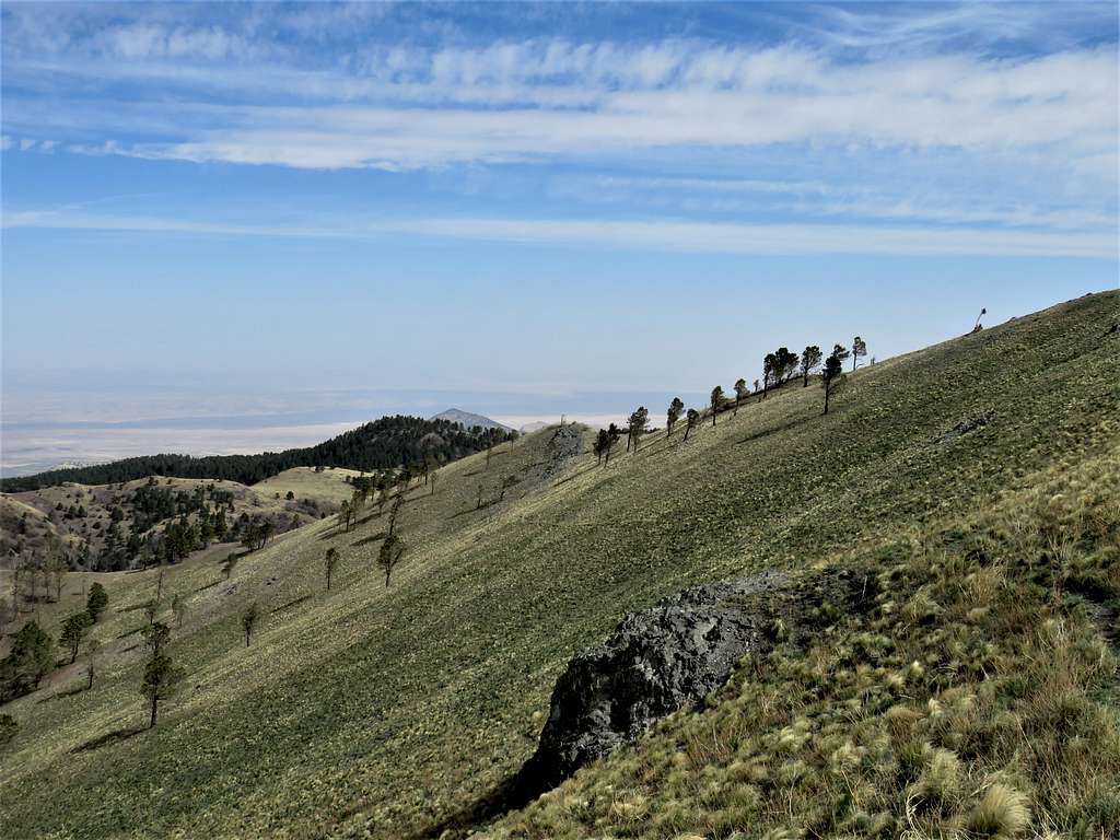
Was then going up a beautiful grassy slope. It became very windy.
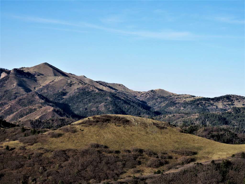
View of Nogal Peak to the north.
At 8:35 a.m., 4.05 miles and 9685 ft, I reached a ridgetop and as I suspected, a fierce cold wind was blowing. The summit of White Horse Hill appeared. Went behind a tree to put on my jacket, being careful not to lose it to the wind.
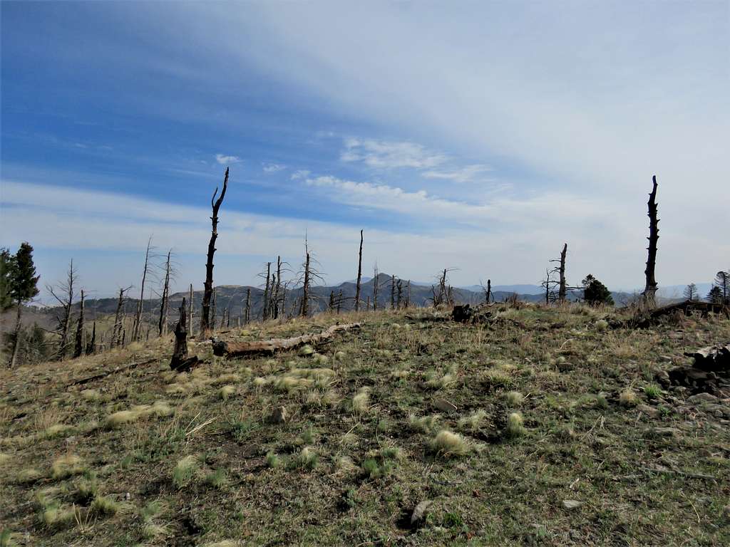
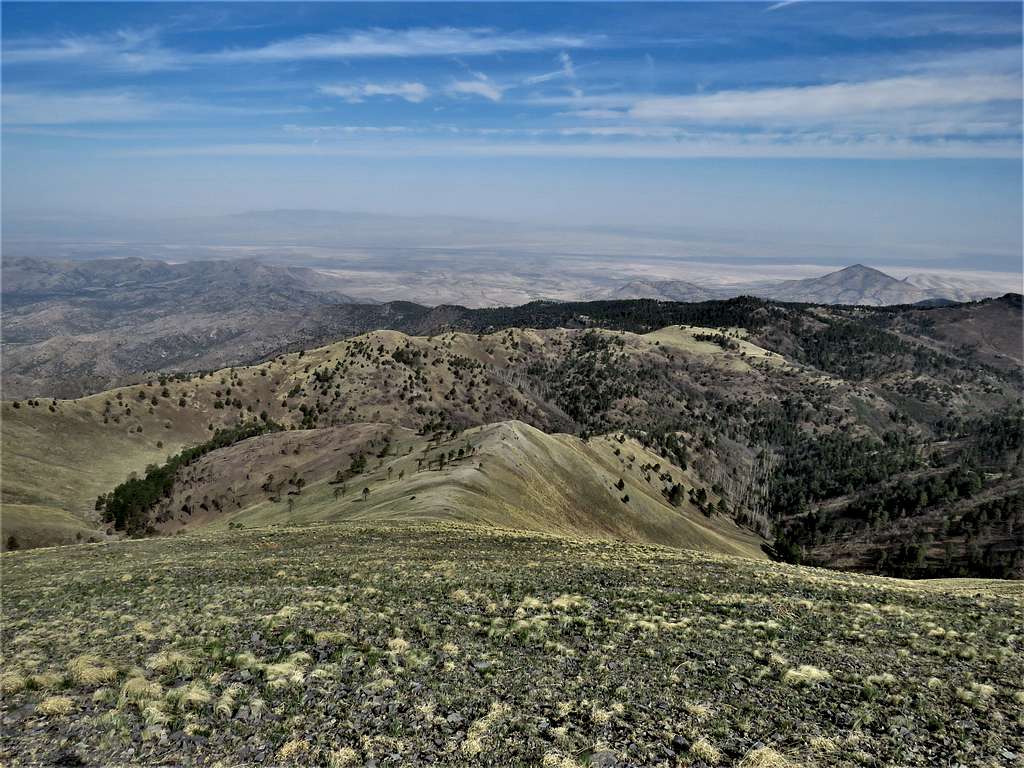
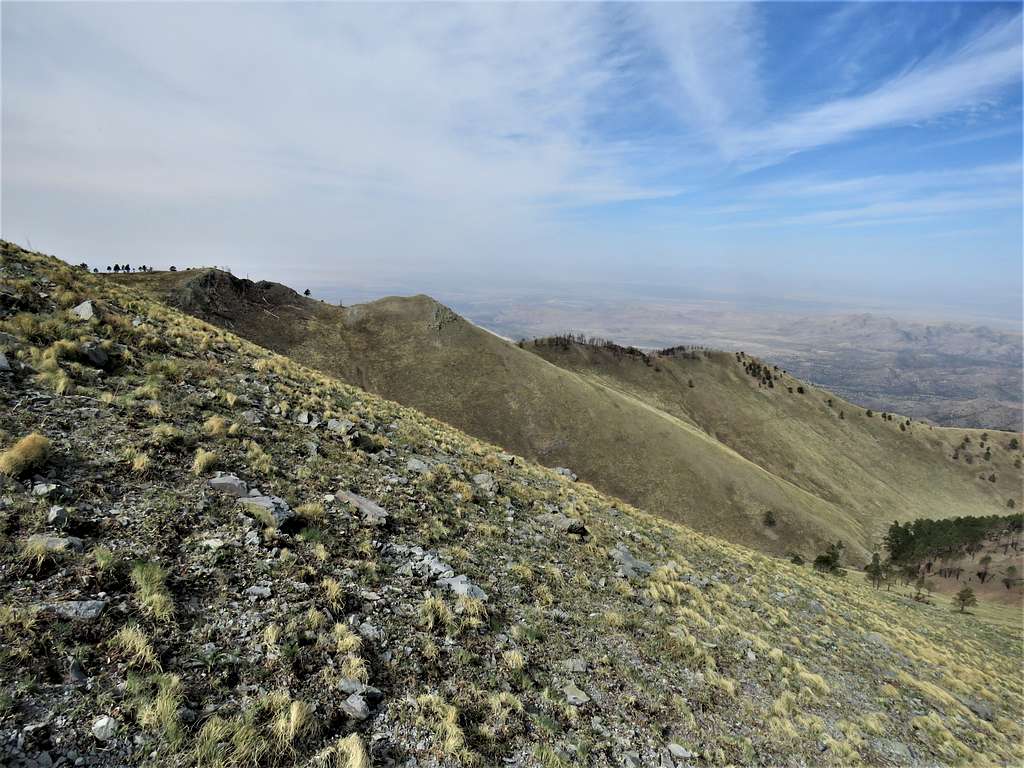
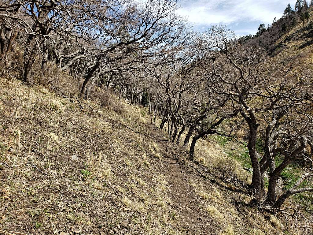
Went up the ridgetop toward the base of White Horse Hill. Scattered burnt standing trees made a dramatic scene.
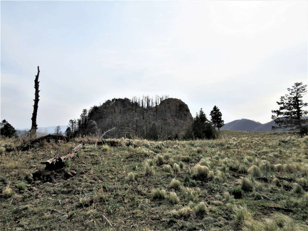
Left trail and began to hike up the grassy slopes to reach the summit of White Horse Hill.
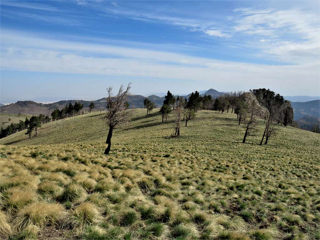
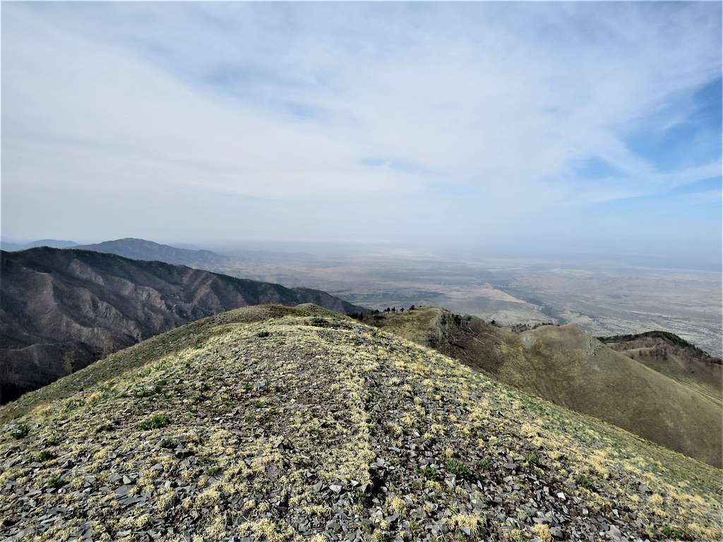
At 9:10 a.m., 4.75 miles of hiking and 10225 ft elevation, I reached the summit of White Horse Hill. It continued to be very windy and cold. Views from the summit:
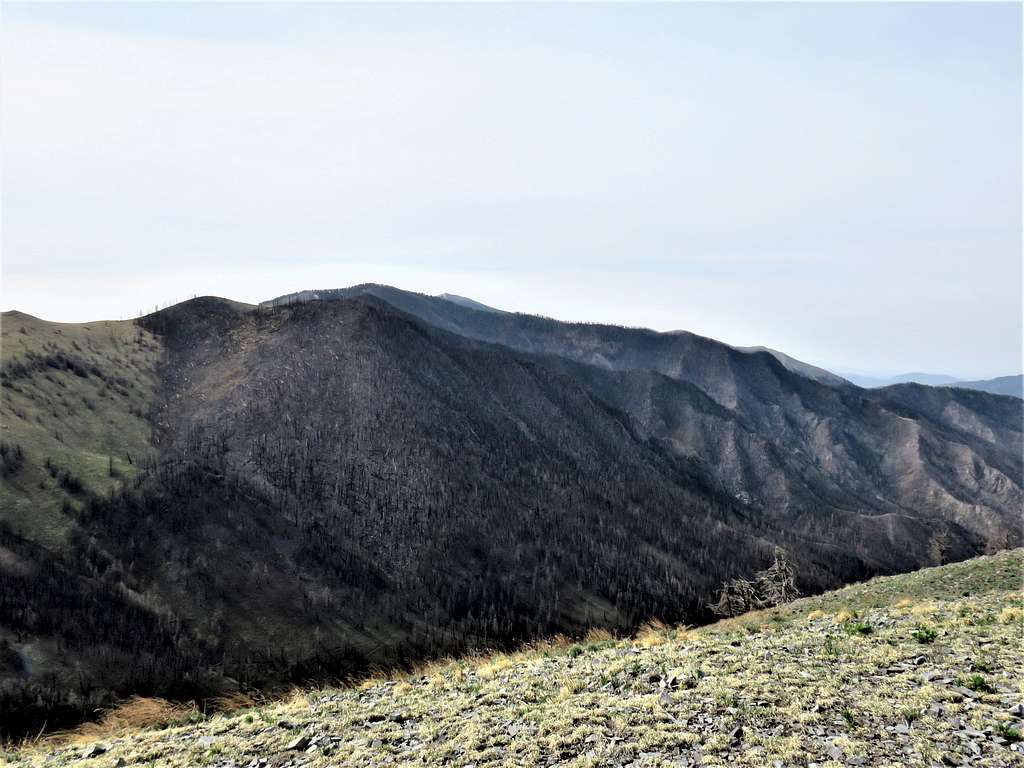
To the south, the tip of Sierra Blanca was visible behind Lookout Mountain. Unfortunately, the forests in that area appeared burnt.
Looking southwest. Black Mountain seen. White Sands National Park lost in the haze.
Looking west at the lower Rose Peak.
Looking northwest at the distant Cub Mountain.
Looking north at Nogal Peak and Carrizo Peak behind it.
Started my sandwich and sat very low, almost laying down on the ground to shield myself from the wind but that did not work. The plan was to go back a different way, left at 9:30 a.m. going down the grassy slopes on the west side of White Horse Hill.
Once down to 9850 ft, I reached Crest Trail and followed it west making broad zigzags going down a beautiful grassy slope with scattered trees. Saw a group of hikers way down the trail but they soon went out of my site.
At 10:01 a.m., 5.92 miles and 9370 ft elevation, reached the signed junction with Big Bonito Trail. Sat there to eat and drink. Took the jacket off since the wind had died out. Was then hiking down the upper parts of Big Bonito Trail.
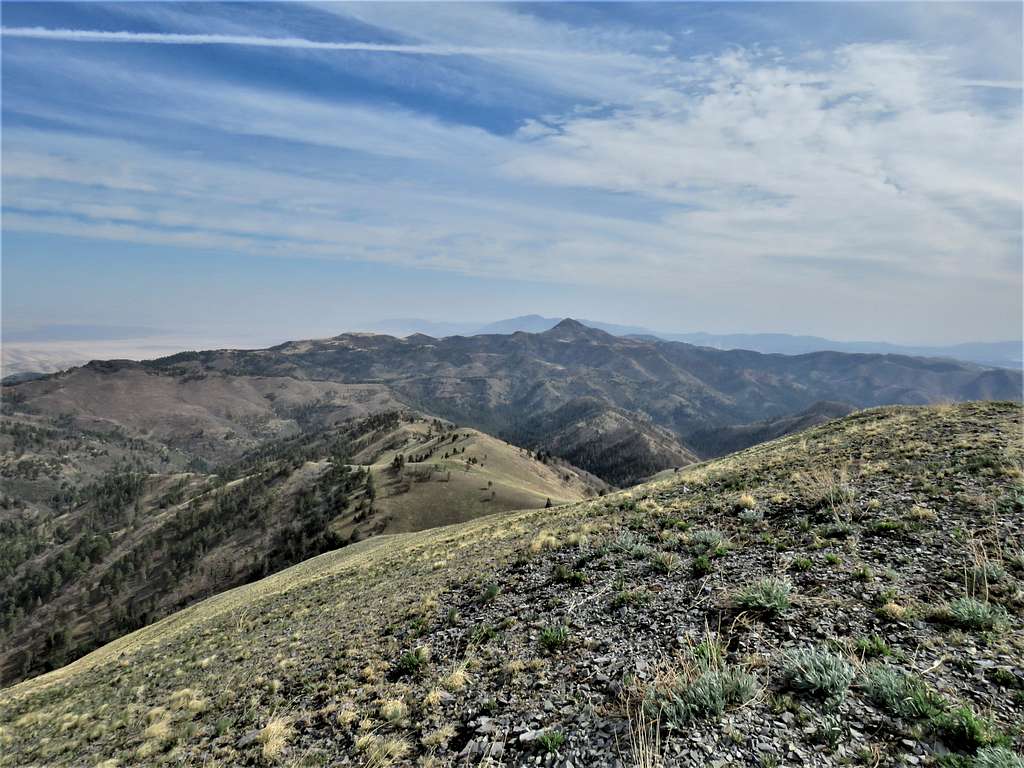
A look back at White Horse Hill.
Continuing down the trail, I reached that group of hikers that I had seen from above. They were college students who had camped in the area and were on their way out. They said that they had seen me on the summit.
Went past the junction with Aspen Canyon Trail and reached Argentina Trailhead at 12:05 p.m. Temperature had risen to 65 degrees F.
Red Tape
No fees or permits needed for day hikes.
When to Climb
Spring, Summer and Fall.
Spring is the dry season, summer the rainy season.