
|
|
Mountain/Rock |
|---|---|
|
|
35.38350°N / 117.9328°W |
|
|
Download GPX » View Route on Map |
|
|
Mountaineering |
|
|
Spring, Fall, Winter |
|
|
3425 ft / 1044 m |
|
|
Overview
Rank: Peak 3425 ft is California’s 6685th highest ranked peak
Prominence: 525 ft
Peak 3425 ft is an obscure desert peak in California’s Red Rock Canyon State Park near the town of Ridgecrest. The reason I climbed this mountain was because I was able to reach its summit by hiking through the scenic Nightmare Canyon. From the upper ends of the canyon, I went up the slopes to reach the summit. For the return route, I came down a different path into another branch of the canyon. There were no trails but the terrain was easy to hike (see map). The summit of the peak provided me with good views of the surrounding deserts and mountains.
Getting There
This is the directions to the starting point for the hike into Nightmare Canyon and Peak 3425 ft. From the junctions of Route 14 and 395 near Ridgecrest, California, drive about 26 miles south on Route 14 going past Ricardo Campground on the right (west). Look for the large parking area at Red Cliffs Natural Area on the left (east).
Route via Nightmare Canyon
Starting Point Elevation: 2420 ft
Loop hike as shown on map: 9.5 miles
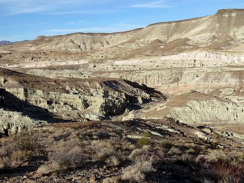
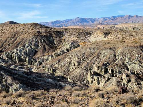
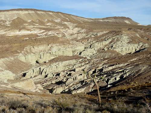
Please see the attached Nightmare Canyon Route page. These pictures were taken at the north end of the canyon where I headed east up the slopes toward Peak 3425 ft.
 |
 |
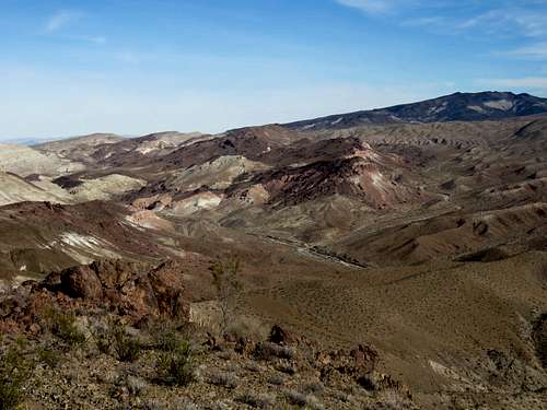
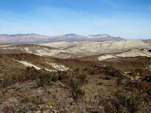
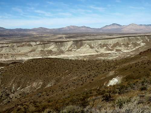
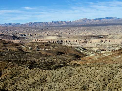
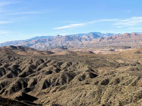
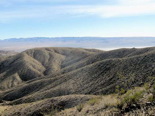
Views from the summit.
 Black Mtn, Red Buttes, N/NE Black Mtn, Red Buttes, N/NE |
 Owens Peak, N Owens Peak, N |
.
 Looking NW Looking NW |
 Looking W/SW Looking W/SW |
.
 Looking SW Looking SW |
 Koehn Dry Lake, S/SE Koehn Dry Lake, S/SE |
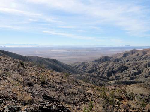 Freemont Valley, E
Red Tape
No fees or permits needed.
When to Climb
Winter is the best time to climb. Summer can get dangerously hot.