-
 160 Hits
-
 75.81% Score
-
 6 Votes
|
|
Mountain/Rock |
|---|---|
|
|
47.34805°N / 12.25991°E |
|
|
Hiking, Skiing |
|
|
Spring, Summer, Fall, Winter |
|
|
6677 ft / 2035 m |
|
|
Overview
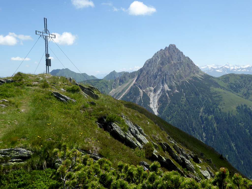
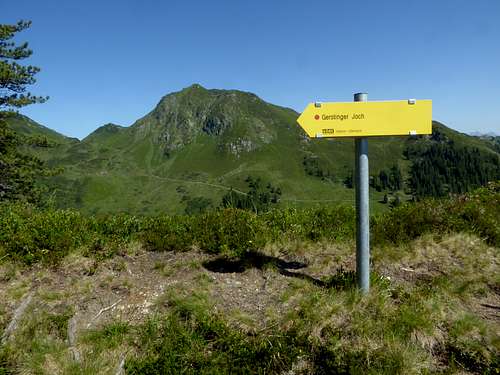
The 2022 trip to Brechhorn and Floch inspired me to continue the journey on the beautiful Geigen range main ridge, Kitzbühler Alps, and I decided for summer 2023 to return to this subgroup and summit Gerstinger Joch. This summit is quite easy to conquer from the end of the Unterer Grund toll road. It is an opportunity for a short hike or for an extended one, e.g. following the main ridge in southern direction to include Kleiner and Großer Tanzkogel in a longer day trip.
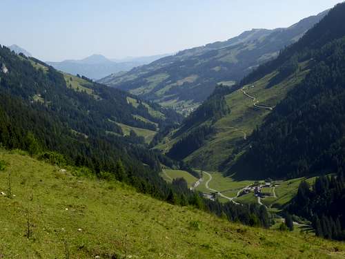
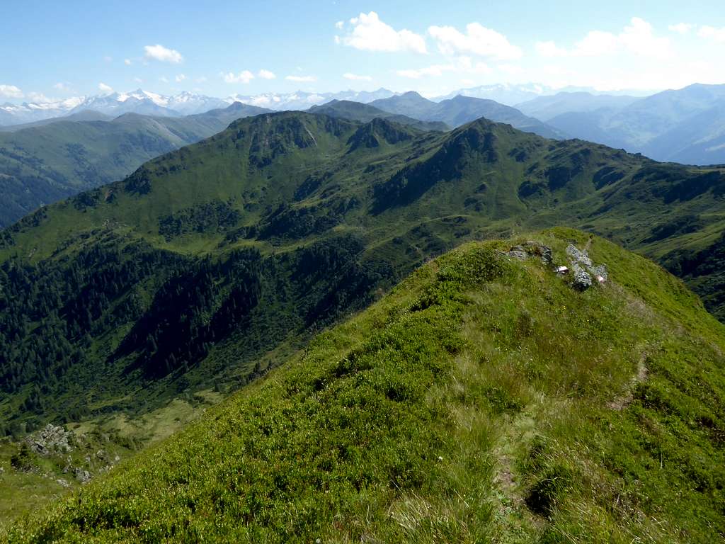
Gerstinger Joch is located between Floch and Hinterkarscharte col to the north and Kleiner / Großer Tanzkogel to the south. Bordered by Windau valley to the west and Unterer Grund / Spertental valley to the east, Gerstinger Joch forms a huge ridge which is located oblique to the main ridge.
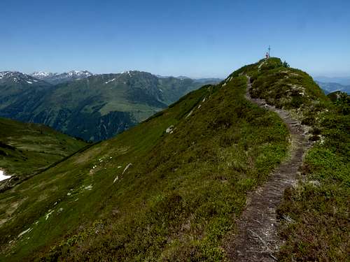
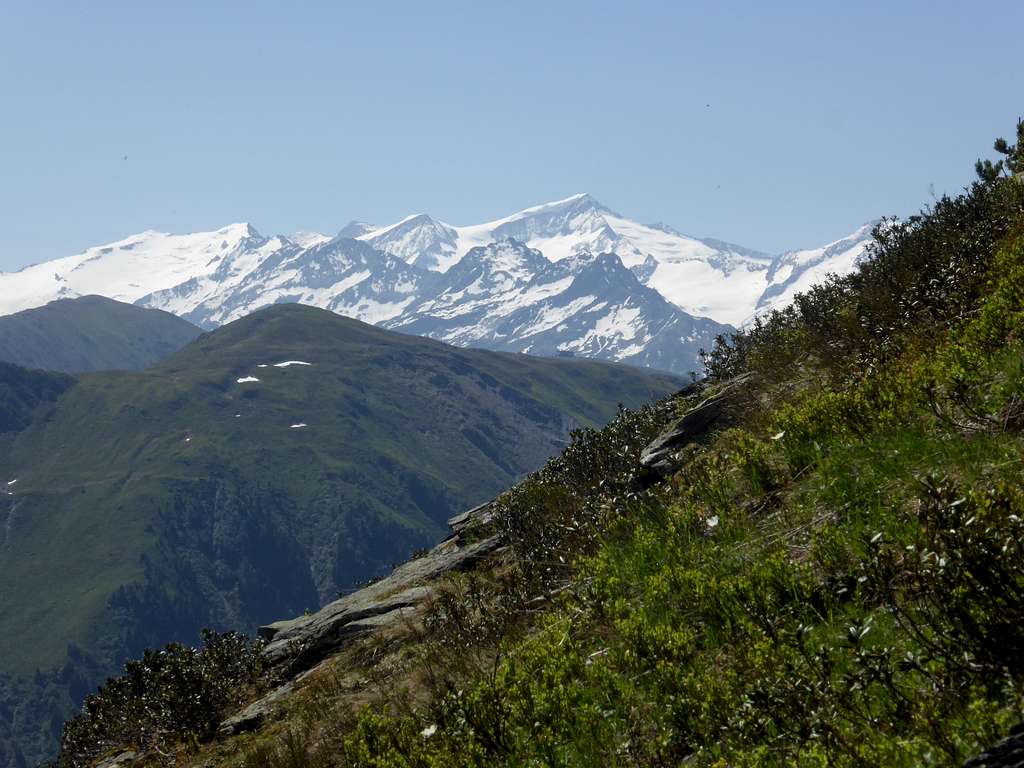
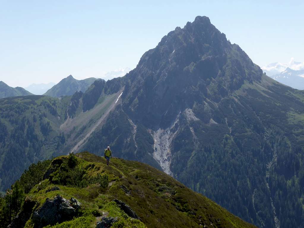
The summit offers spectacular views of the most prominent summit of Kitzbüheler Alps, Großer Rettenstein. This mighty rock feature is located just across Unterer Grund valley and dominates the scene. The huge glaciers of Großvenediger Group nearby add to the spectacular summit views from Gerstinger Joch.
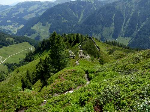
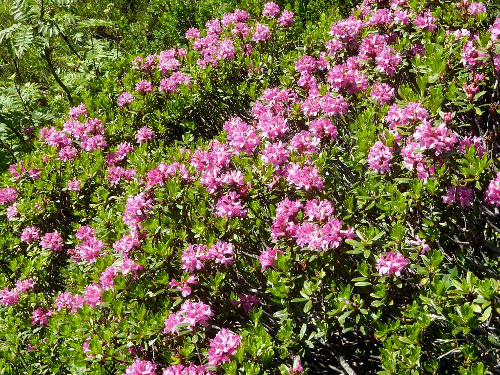
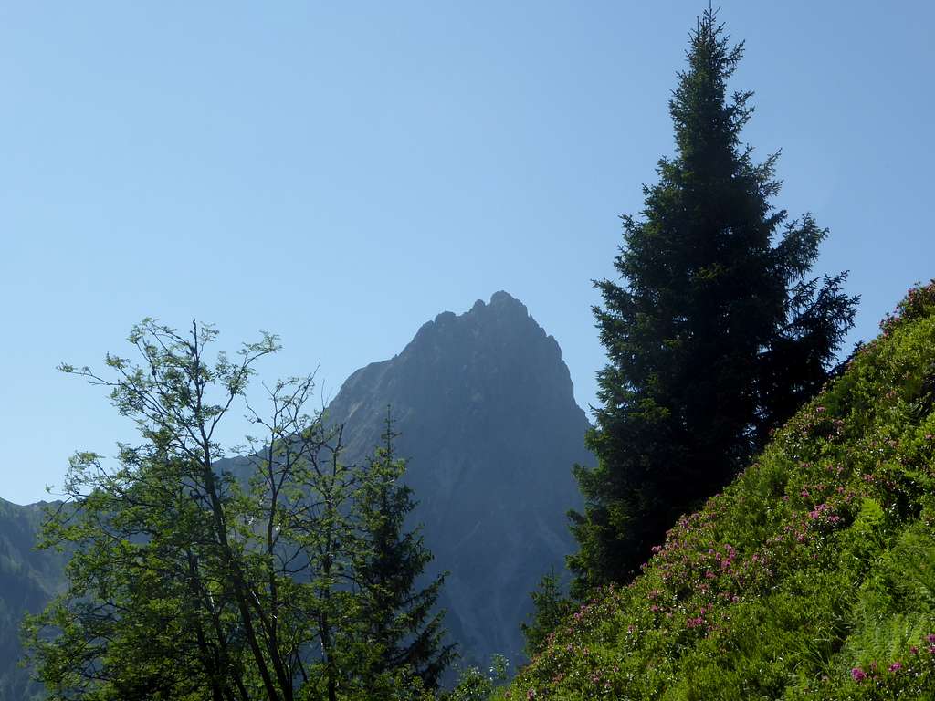
Like many Kitzbüheler summits, Gerstinger Joch is a year round outing for hikers, snow shoe hikers and skiers. For me, however, the best time for Kitzbüheler summits is June/July, when the Alpenrose blossoms and whole slopes are red with flowers. Like you can see on theadded foto below.
Getting There
Main trailheads for Gerstinger Joch are:
Unterer Grund valley / Spertental valley
- Parking area Hintenbachalm
- Parking area Stallbach Grundalm (end of the toll road)
Windau valley
- First parking area beyond Steinberg inn
- Winter trailhead is at Steinberg inn!
You reach the region and the trailheads by car:
- On Austrian highway A 12 (toll road), exit Wörgl Ost
- Go on road number 178 and then on road number 170 direction Hopfgarten
- Proceed on road 170 to Westendorf
For Windau valley trailheads
- cross Westendorf center and proceed on the road “Dorfstrasse”, then “Holzham” and “Vorderwindau" to the toll station.
- Follow the toll road (named “Hinterwindau”) to the above listed trailheads / parking areas
For Unterer Grund trailheads
- proceed on road number 170 to Kirchberg/Tirol
- Pass through Kirchberg center, following the signposts for Aschau / Spertental (road number L203)
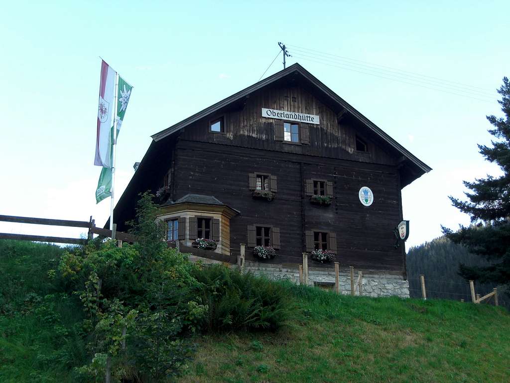
- At Aschau go straight on, passing by Oberlandhütte alpine club to the toll station
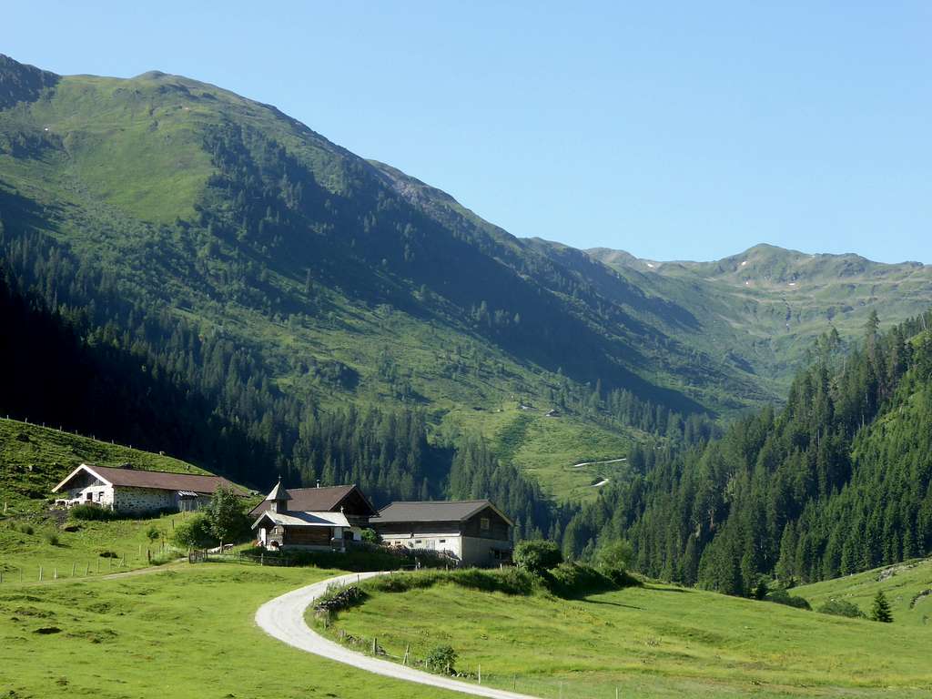
- Proceed on the toll road (called “Unterer Spertengrundweg”) to the above listed trailheads.
- The winter trailhead is at the parking area Oberlandhütte!
Public transportation:
Windau trailheads cannot be reached by public transportation.
- The nearest railroad station is Westendorf.
- Bus 4051 goes as far as Westendorf village center.
Spertental trailheads cannot be reached by public transportation.
- Nearest railway station for Unterer Grund trailheads is Kirchberg.
- Bus number 4004 serves as far as Aschau village.
Routes Overview
Unterer Grund trailheads:
Hintenbachalm trailhead:
- Follow the toll road to Labalm (Labalm parking area is only for guests!)
- Follow the forest road to Haglanger Alm
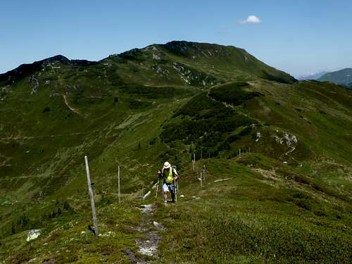
- Take the east ridge trail to the summit.
- Alternatively follow the forest road to Hintenbach Niederalm
- Turn left and follow an old forest road and then a trail to Haglangeralm and proceed as above
- Alternatively turn right, ascent to Hintenbach Hochalm, Hintenkarscharte and take the north ridge route
Nice loop routes possible.
Trailhead Stallbach Grundalm
- Take the forest road to Stockeralm, Angerer Alm and Haglangeralm
- Take the east ridge trail to the summit.
Windau trailhead:
- Go some meters south on the toll road and take the first forest road to your left.
- Proceed on this road to Scheibenschlag Niederalm and Scheibenschlag Hochalm
- Take the trail up to Hinterkarscharte
- Turn right and follow the north ridge trail to the summit.
Traverse routes:
To the south to Kleiner Tanzkogel, Großer Tanzkogel, Schwarzkarkogel, Westerachkopf and Gamsbeil; the routes of these summits are described on the SP pages.
To the north to Hinterkarscharte, Floch, Brechhorn; the routes of these summits are described on the SP pages.
Ski routes:
Eastern ski route
- starting from Oberlandhütte, Spertental valley
- follow the toll road to Labalm; from there on the ski route is marked!: Angeralm, Pfannschlagalm, east slopes to the summit
Don´t leave the marked ski route area as some fauna is protected in winter!
Western ski route
- starting at Steinberg inn, Windau valley
- at Steinberg inn there is a check point for your avalanche gear
- follow the toll road south until you can ascend meadow slopes up to Scheibenschlag Niederalm
- follow the meadow slopes in southeastern direction up to the north ridge of Gerstinger Joch and over the north ridge to the summit.
Red Tape & Accommodation
Red Tape
During ski tour season follow the marked areas for ski ascents and decents
The roads to the trailheads into Windau valley / Spertental valley – Unterer Grund are toll roads.
The Untere Grund road has only a toll machine. Enough coins are required!
Accommodation
Mountain huts
Oberlandhütte (accessible by car and located at Aschau im Spertental valley)
Gear & Mountain Condition
Gerstinger Joch is an easy hiking summit and requires good hiking gear.
- Hiking poles and gaiters can be useful in late spring and late autumn.
Gerstinger Joch is an easy ski tour, too. It is done in winter and early springtime.
- You need full ski tour gear and avalanche gear.
- See the avalanche bulletin here.
Valley weather Kirchberg / Tirol
Mountain weather Gerstinger Joch
Maps
Alpenvereinskarte 1 : 50.000;
Kitzbüheler Alpen West, Nr. 34/1, Deutscher Alpenverein, 2010; - topo map with trails
Alpenvereinskarte 1 : 50.000;
Kitzbüheler Alpen West, Nr. 34/1 S, Deutscher Alpenverein, 2010; - topo map with ski routes
Austrian Topo Maps:
Österreichische Karte 1 : 50.000 - UTM (ÖK50): number 3219, Neukirchen am Großvenediger
Wildflowers
