
|
|
Route |
|---|---|
|
|
39.24500°N / 79.492°W |
|
|
Hike |
|
|
Less than two hours |
|
|
Walk-up |
|
|
Approach
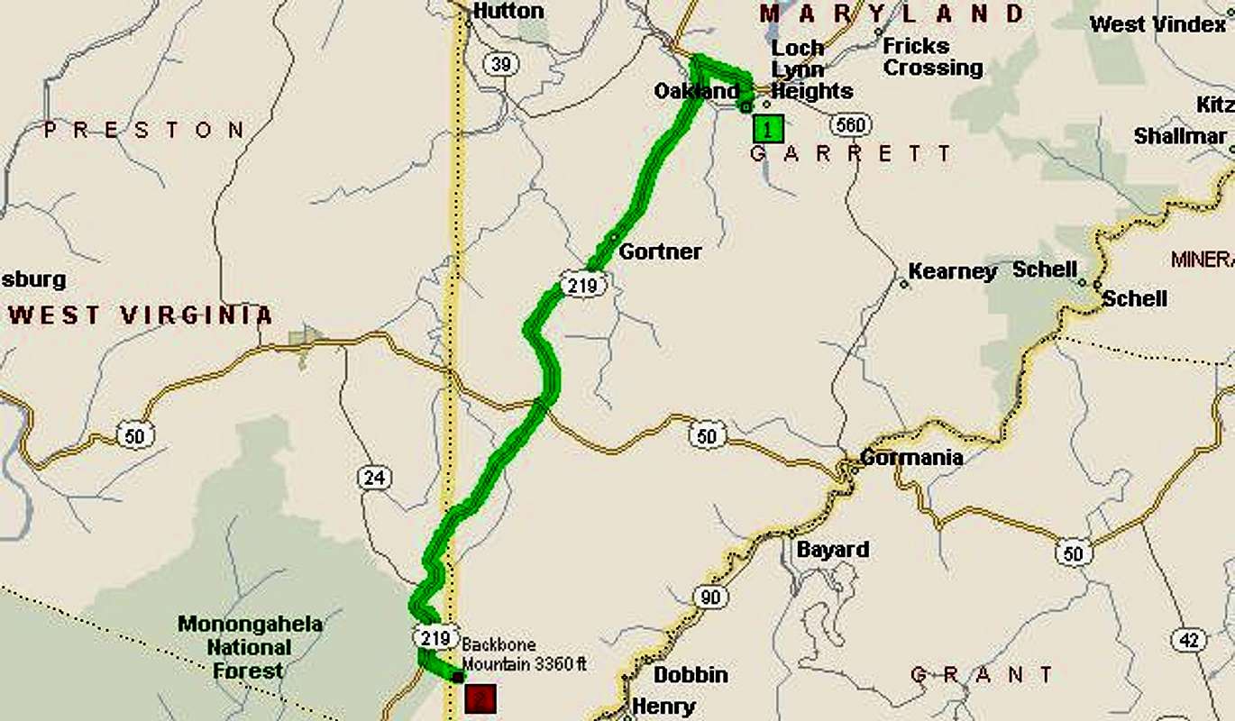
To get to Backbone Mountain, the highpoint of Maryland, take I-68 West to route 219 in Western Maryland. Go all the way down to near the West Virginia line. You will pass route 50, then you will pass the "smallest church in all 48 states" and you see Backbone Mountain on the left. About 1 mile up, on the left is a small white sign that says Maryland Highpoint.
Route Description
Take the trail right off the road. Follow red 'HP' marks up the steep trail. It gets steeper and steeper as you go up. About a mile in, you follow red marks and go left towards the highpoint. You will see a small red sign to the MD/WV marker and the highpoint.
PLEASE TAKE A RIGHT!
(*See photo below)
You will go downhill for a bit, but do not worry, you will reach the top, where you will see the sign for Hoye Crest, and the top of Maryland.
 |
Essential Gear
Bring lots of water, this sucker is steep!
Miscellaneous Info
If you have information about this route that doesn't pertain to any of the other sections, please add it here.