Toggle navigation
Mountains
Routes
Images
Trip Reports
Forum
What's New
People
Areas & Ranges
Articles
Trailheads
Canyons
Huts & Campgrounds
Albums
Logistical Centers
Fact Sheets
Lists
Custom Objects
Gear
Plans & Partners
WELCOME TO SUMMITPOST
SIGN IN
REGISTER
Teton Range
Additional Parents
Image
Upper Snake River
View High-Resolution Image
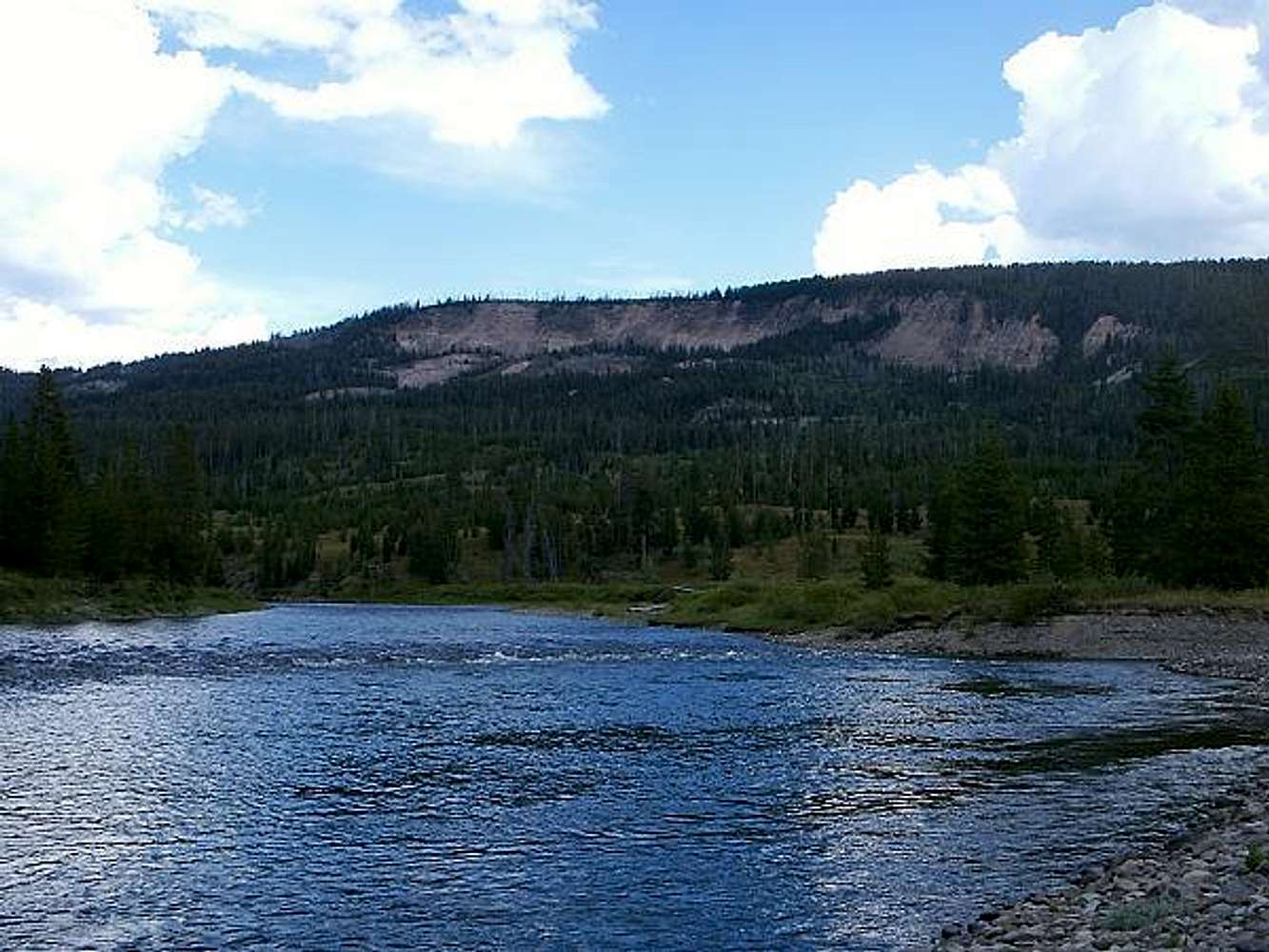
Upper Snake River
Snake River on the border of Bridger-Teton National Forest and John D. Rockefeller, Jr Parkway. Thirty miles downstream of its highest headwaters.
« PREV
NEXT »
mountainhare
on
Jan 6, 2013 5:02 pm
Comments & voting
Other parents
Lat/Lon:
44.09813°N / 110.66606°W
Image Type(s):
Scenery
Image ID:
833026
946 Hits
71.06
% Score
1
Votes
Log in to vote
Comments
No comments posted yet.
to post!
Don't have an account?
Teton Range
(Area/Range)
« PREV
Viewing
#508 of 527
GALLERY
NEXT »
mountainhare's Image Gallery
« PREV
Viewing
#250 of 498
GALLERY
NEXT »
×
You need to login in order to vote!
User Name
Password
Remember me
Forgot your password?
Log me out when I close my browser.
Keep me logged in all the time.
sign in as a user
Don't have an account?
Register now for FREE
Rating available
Suggested routes for you
People who climb the same things as you
Comments Available
Create Albums
Register Here


