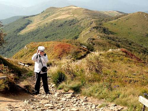
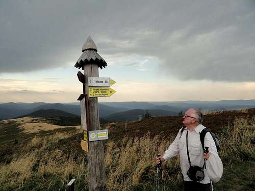
The route of the trail is leading from Wołosate to the Siodło pass, peaks of Mount Tarnica (1346 m), Krzemień (1335 m) and Bukowe Berdo (1312 m). Muczne - an aim of the walk is a village, near the border with the Ukraine, in the valley of the Muczny stream. Tarnica is a peak in the Bieszczady Mountains. Its height is 1346 meters (4416 ft). It is one of the Polish Crown Peaks. Tarnica is the highest peak in the Bieszczady National Park. Bieszczady National Park is the third largest National Park in Poland located in the extreme south-east corner of the country, bordering Slovakia and Ukraine.
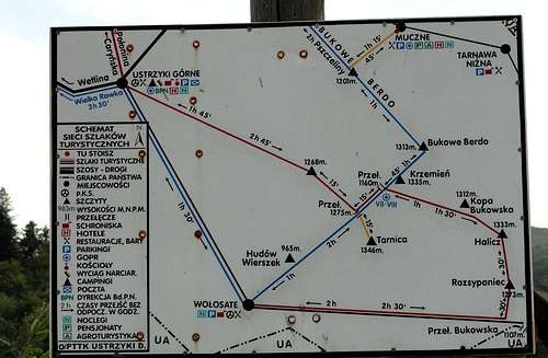
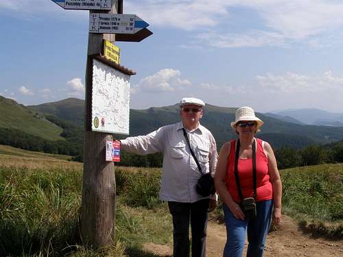
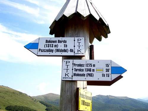
Map of trails
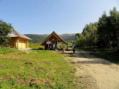
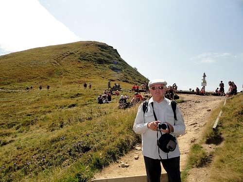
Wołosate - beginning of the trail on Mount Tarnica.
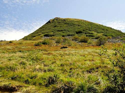
Mount Tarnica (1346 m)
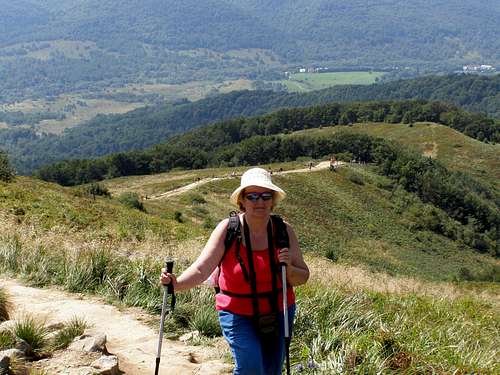
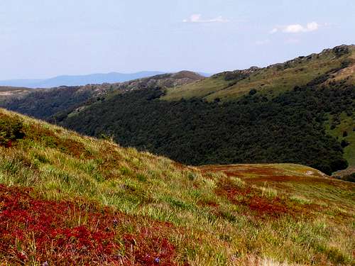
On route to Mount Tarnica (1346 m)
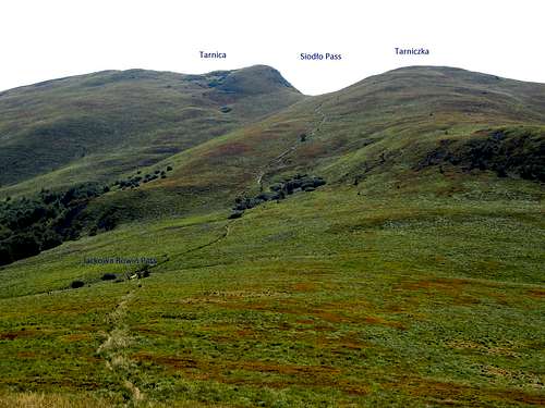
Siodło Pass
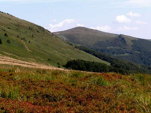
Blue trail to Siodło Pass - Mount Krzemień
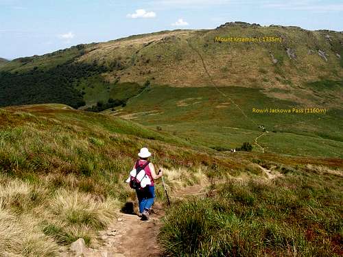
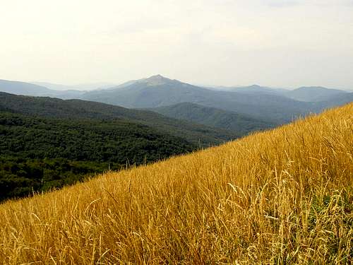
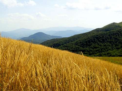
On route to Mount Krzemień (1335 m)
Rowiń Jackowa Pass (1160 m) - Distant view from left to right: Mount Halicz (1333 m) and Mount Rozsypaniec 1280 m)
Mount Bukowe Berdo (1312 m) and Mount Krzemień (1335 m)
Mount Krzemień (1335 m) and Mount Halicz (1333 m)
View from the slope of Mount Krzemien (1335 m) - Distant view of Mount Caryńska Połonina (1297 m).