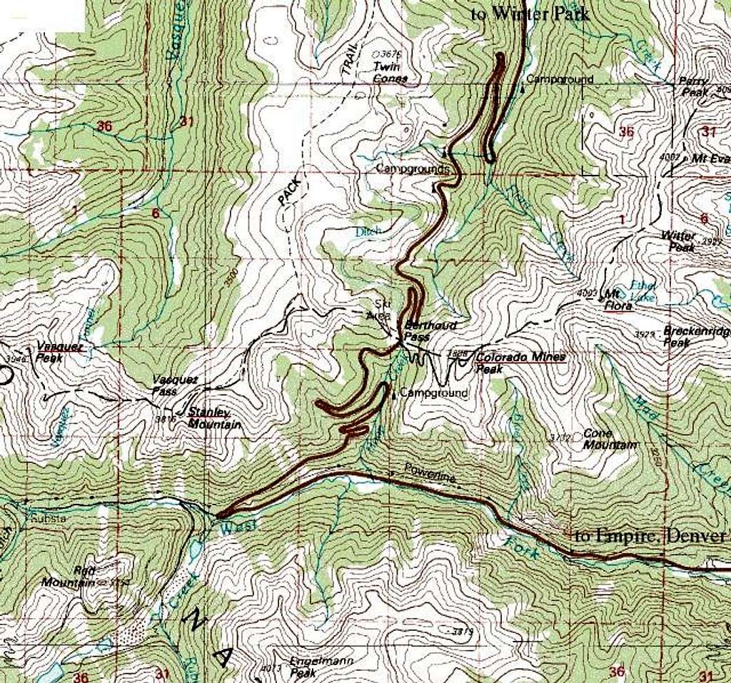
Topo map of the somewhat confusing area around Berthoud Pass, Colorado. Peaks underlined in red on the Continental Divide are covered in Summitpost.com. These include
Colorado Mines, Flora,
Stanley, and
Vasquez.
US40 runs across Berthoud Pass from I70 on the south-eastern side to Winter Park and Lake Granby to the north.
