
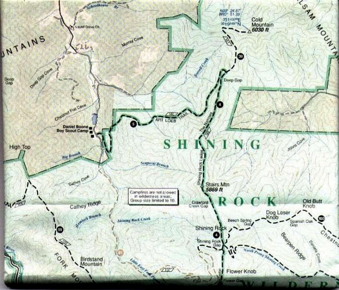
This is from the Pisgah...
This is from the Pisgah Ranger District map by National Geographic Trails Illustrated.
Because of theits large size, I had to divide the map into northern and southern sections. This is the NORTHERN half of the map. It shows the Art Loeb Trail (highlighted in GREEN) from Flower Gap to the Cold Mountain Trail to the trailhead at Camp Daniel Boone.
View other map for SOUTHERN half.


