Comments
No comments posted yet.
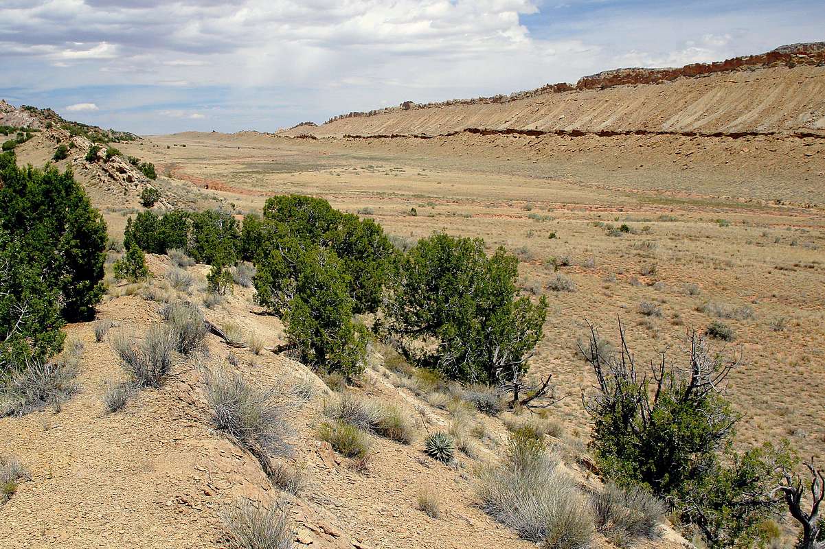
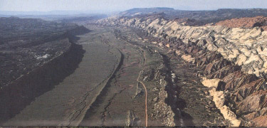
This image hints at the rift that created Capitol Reef National Park, UT. Best seen from the air, the Waterpocket Fold is a stunning 100-mile rift in the Earth (NPS aerial image). But, one must experience it up close to appreciate the colors with which Mother Nature so generously decorated this amazing landscape. Imaged in August 09 just outside the eastern edge of the national park.


