Comments
No comments posted yet.
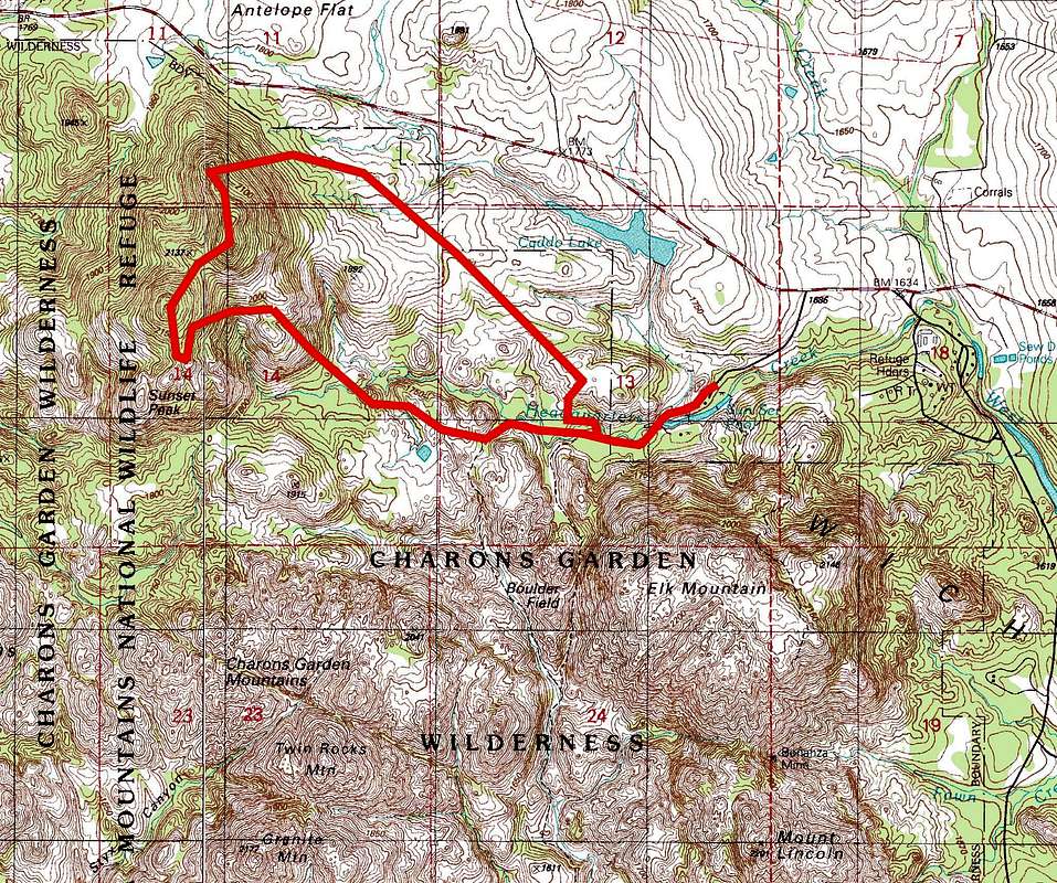
This concatenation of the Quanah Parker and Odetta USGS quad topographic maps is marked with a six mile Sunset Peak Traverse in the Wichita Mountains Wildlife Refuge, OK. Although the terrain is not particularly steep, it does have areas of heavy underbrush that requires bushwhacking. In the growing seasons, poison ivy, greenbriar, ticks and chiggers can present additional challenges. Topographic data used under the Creative Commons License.

You are at the First Image | You are at the Last Image |

