Trip Report: Pinto Peak 2009-03-22
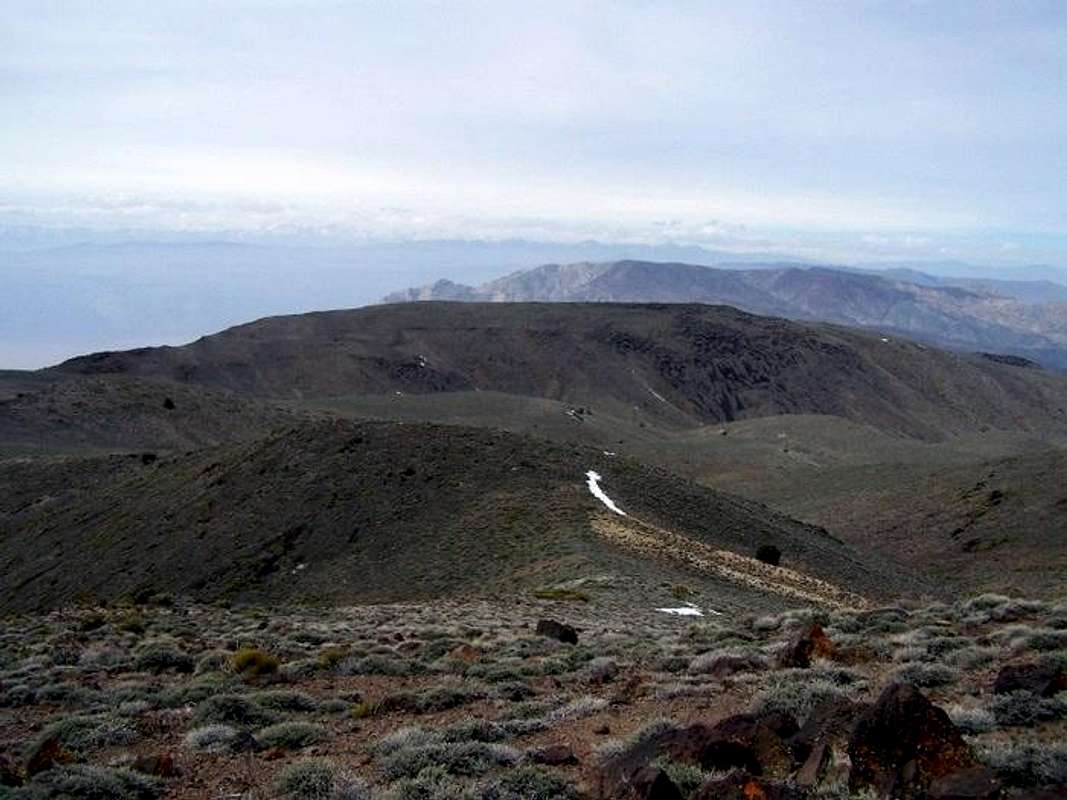
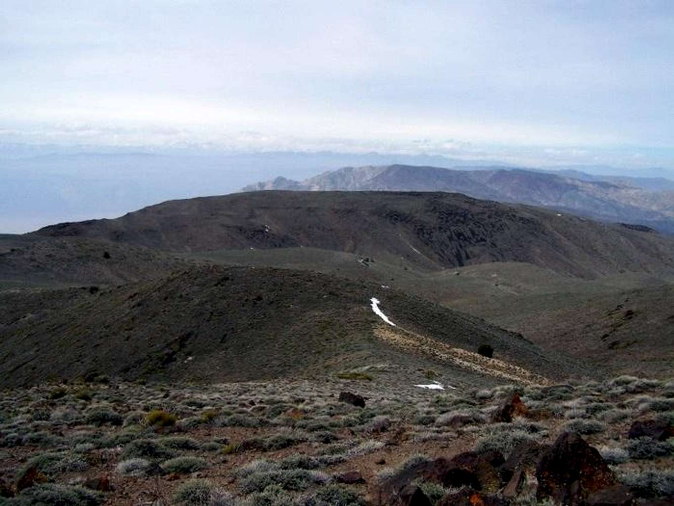
I went on a hike on Saturday, March 21st, 2009 to Pinto Peak (7505’). Pinto Peak is located in Death Valley, California. The hike was about 7 miles round trip with an elevation gain of approximately 3200 feet. The four of us started at the parking area at Towne Pass at around 8:30.
We set off heading West in a desert terrain. I started off in pants, but as it grew warmer I took off my inner layer, and switched to shorts. Our cross-county class 2 hike led to a brief class 3 climbing section which was really fun. The rocks and the vegetation are very distinctive in Death Valley so I took lots of pictures! It was very breezy as we hiked so I changed layers often depending on the elevation that we were gaining.
We reached the peak, and signed the 1st class register. Some of the things visible from Pinto Peak are Telescope Peak, Rogers Peak, Bennett Peak, Olancha Peak, Towne Peak, Langley Peak, Wildrose Peak, Death Valley, and Mount Whitney. After eating at the summit we headed back down, and we reached the cars at 3:00.
Click here to see pictures of Pinto Peak
Trip Report Blog
Happy Hiking!

