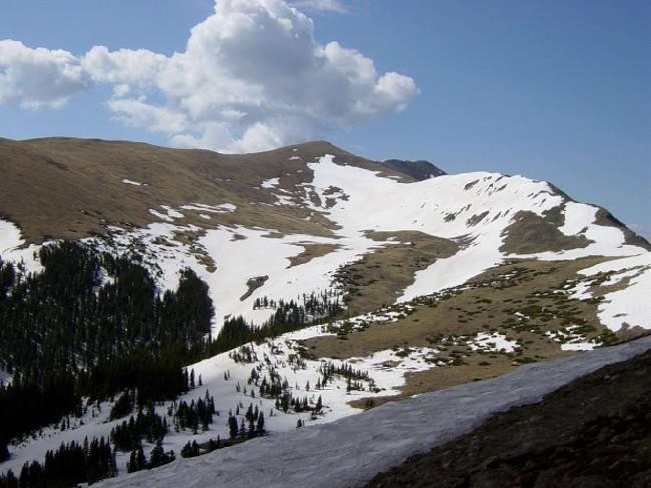
La Cal Basin to the SE as seen from the SE side of Frazer Mountain. The standard route descends down into the basin,
then switchbacks up the slope (to the left) before intersecting the ridge (center). The trail can be seen on the left. Our route climbed the ridge to the right which, although rocky, was snow free on the top. The dome in the center is Point 13,045 (as indicated on the USGS 1/24 quad only) which is hiding Mount Walter. Wheeler can be seen off in the distance to the right of Point 13,045. See more photos and a trip site
here.
May 24, 2003. Photo by Alan Ellis.


