Toggle navigation
Mountains
Routes
Images
Trip Reports
Forum
What's New
People
Areas & Ranges
Articles
Trailheads
Canyons
Huts & Campgrounds
Albums
Logistical Centers
Fact Sheets
Lists
Custom Objects
Gear
Plans & Partners
WELCOME TO SUMMITPOST
SIGN IN
REGISTER
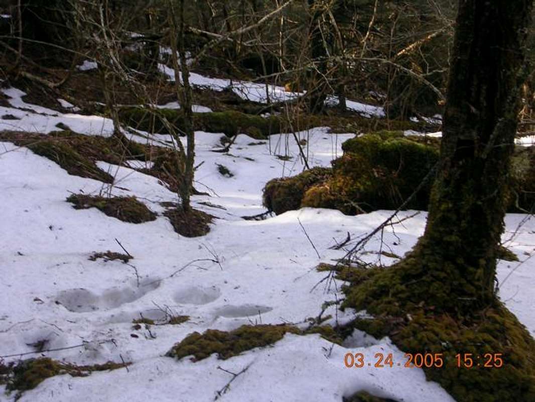
Ice can cover the trail as...
View High-Resolution Image
Ice can cover the trail as...
Ice can cover the trail as late as April, so bring proper clothing and gear. I wore tennis shoes, tshirt, and shorts because it was 68 degrees at the trailhead that day. I was cold and fell a lot.
« PREV
NEXT »
gwave47
on
May 25, 2005 11:19 pm
Comments & voting
Other parents
Lat/Lon:
35.70200°N / 83.122°W
Image ID:
106814
3006 Hits
69.88
% Score
1
Votes
Log in to vote
Comments
No comments posted yet.
to post!
Don't have an account?
Mount Sterling
(Mountain/Rock)
You are at
the First
Image
Viewing
#1 of 1
GALLERY
You are at
the Last
Image
gwave47's Image Gallery
« PREV
Viewing
#246 of 303
GALLERY
NEXT »
Mount Sterling
(Mountain/Rock)
Loading....
Baxter Creek Trail
(Route)
Loading....
×
You need to login in order to vote!
User Name
Password
Remember me
Forgot your password?
Log me out when I close my browser.
Keep me logged in all the time.
sign in as a user
Don't have an account?
Register now for FREE
Rating available
Suggested routes for you
People who climb the same things as you
Comments Available
Create Albums
Register Here


