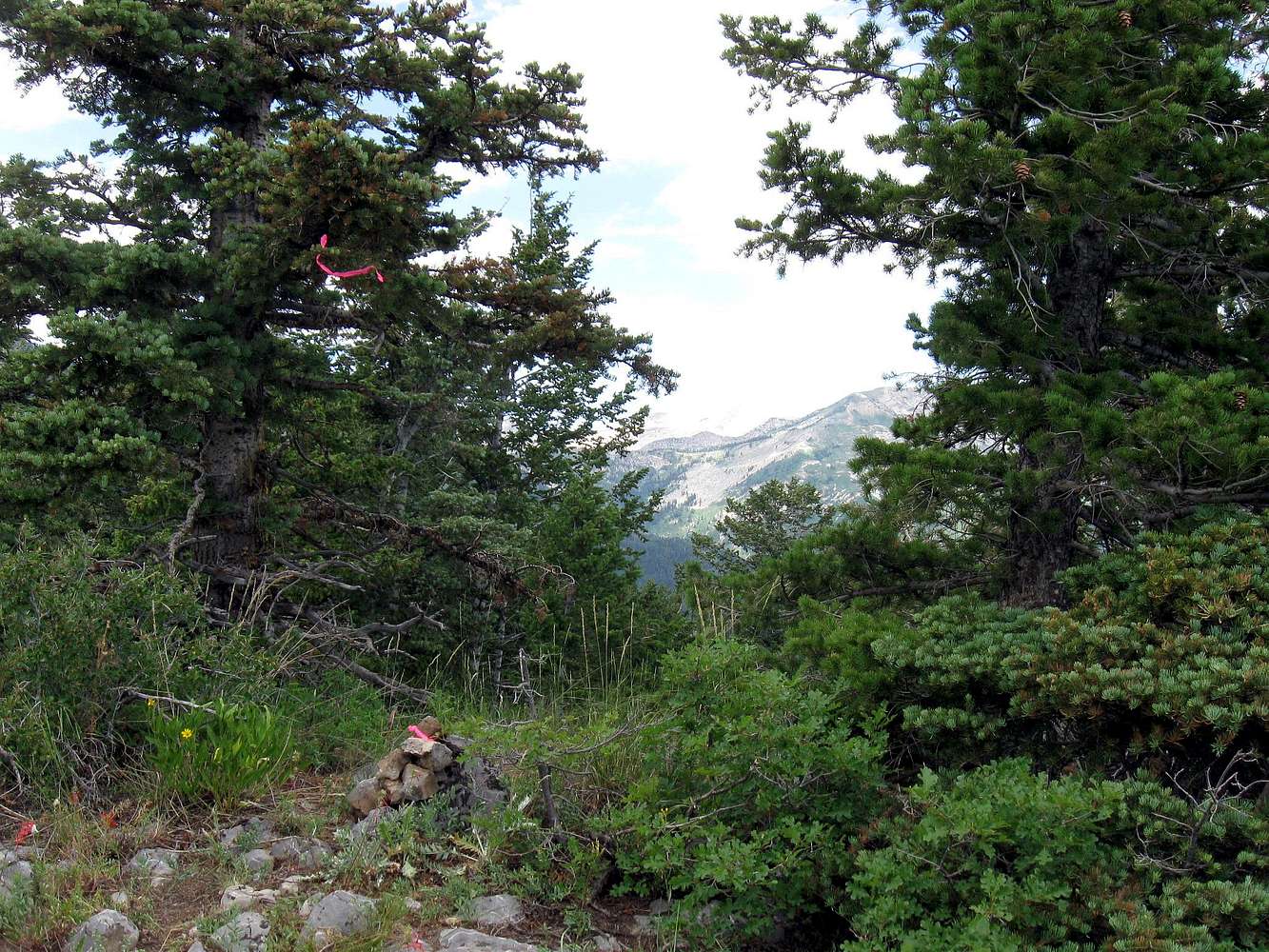
When I got to the spot where Eric indicated that the trail would start dropping down (and it did), I went to work to locate the highest point, using both my map and GPS and then observation. I searched around until I felt I had hit the highest area and made a small cairn and put a pink ribbon around
one of the rocks. I also put a pink surveyors ribbon in a tree above the cairn. Then I walked both the ridge area again to make sure I hadn't missed it. I wish I had taken a register for future visitors but perhaps someone else can do that on a visit of their own.


