Gobbled Up By The Swell ?
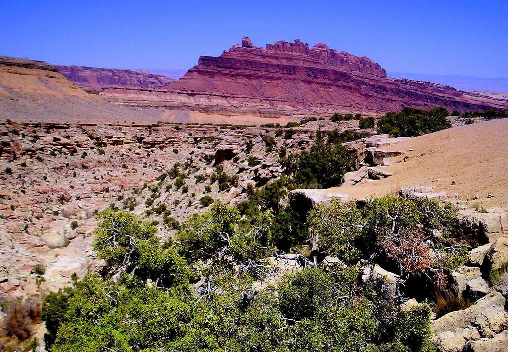
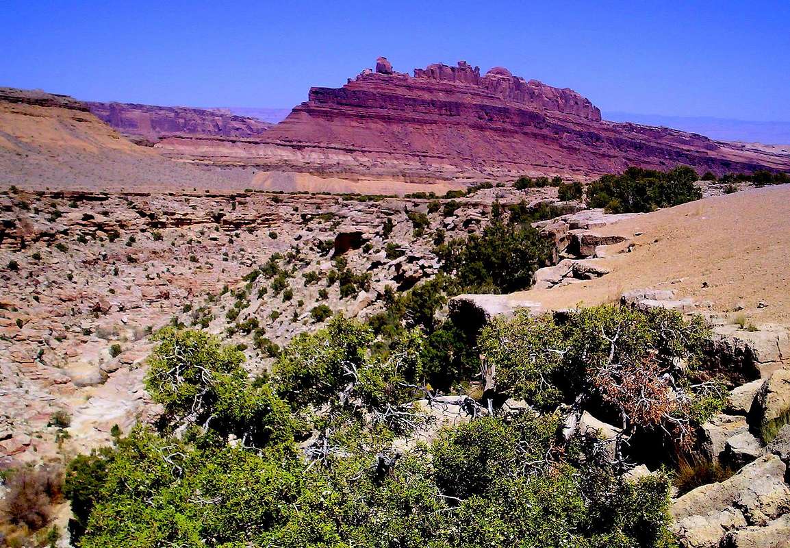
This is the view from the south rim of Black Dragon Wash, looking NE toward Mexican Mountain (6,393') and Swasey's Leap atop Utah's San Rafael Reef, just north of Interstate 70.
The San Rafael Swell is a large geologic feature located in south-
central Utah, about 30 miles (50 km) west of Green River, Utah.
The San Rafael Swell, approximately 75 miles by 40 miles, consists of a
GIANT dome-shaped anticline of sandstone, shale, and limestone that was
pushed UP millions of years ago.
Interstate 70 divides the Swell into northern and southern sections,
and provides the only paved road access to the region. The Swell lies
entirely within Utah's Emery County.
The northern Swell is drained by the San Rafael River, while the southern
Swell is drained by a number of small creeks which eventually join the
Dirty Devil River in Hanksville, Utah.
DIRTY Politics Alert!
The area is managed by the U.S. Bureau of Land Management (BLM), although the Swell as a whole does NOT currently enjoy special protection.
In 2002, then-governor Mike Leavitt of Utah proposed the creation of
San Rafael Swell National Monument. President George Bush,
who had authority to create such a monument under the Antiquities Act,
NEVER acted on Leavett's proposal.
In the past 150 years, areas of the Swell have been used for the grazing
of sheep and cattle, as well as for uranium mining.
Although surrounded by the communities of Price, Green River, Hanksville,
Ferron, Castle Dale, and Huntington, the Swell itself does not support
permanent residents.
Part of the Swell has geographic features that resembles Mars.
The Mars Society decided to set up the Mars Desert Research Station in the
area as a "Mars analog" for such reasons.


Comments
Post a Comment