Toggle navigation
Mountains
Routes
Images
Trip Reports
Forum
What's New
People
Areas & Ranges
Articles
Trailheads
Canyons
Huts & Campgrounds
Albums
Logistical Centers
Fact Sheets
Lists
Custom Objects
Gear
Plans & Partners
WELCOME TO SUMMITPOST
SIGN IN
REGISTER
Garfield Peak
Additional Parents
Image
Garfield Peak
View High-Resolution Image
Garfield Peak
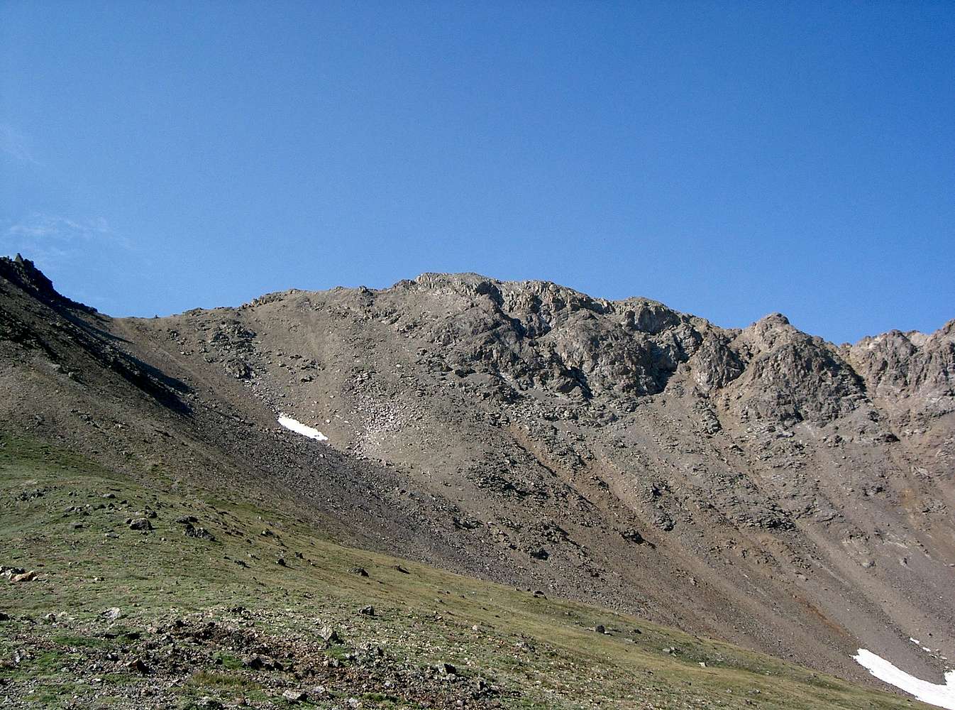
Garfield Peak from McNasser Gulch July 23, 2006 9:03 am. Garfield Peak can be ascended via the scree gully lookers' left of the summit or directly to the summit on more solid rock (Class 2+).
« PREV
NEXT »
Brian Kalet
on
Jul 26, 2006 8:22 pm
Comments & voting
Other parents
Lat/Lon:
39.04250°N / 106.5969°W
Image Type(s):
Hiking
,
Scenery
Image ID:
210628
4162 Hits
71.06
% Score
1
Votes
Log in to vote
Comments
No comments posted yet.
to post!
Don't have an account?
Garfield Peak
(Mountain/Rock)
« PREV
Viewing
#10 of 11
GALLERY
NEXT »
Brian Kalet's Image Gallery
« PREV
Viewing
#276 of 414
GALLERY
NEXT »
Garfield Peak's East Ridge and Traverse to Grizzly Peak
(Route)
Loading....
×
You need to login in order to vote!
User Name
Password
Remember me
Forgot your password?
Log me out when I close my browser.
Keep me logged in all the time.
sign in as a user
Don't have an account?
Register now for FREE
Rating available
Suggested routes for you
People who climb the same things as you
Comments Available
Create Albums
Register Here


