Toggle navigation
Mountains
Routes
Images
Trip Reports
Forum
What's New
People
Areas & Ranges
Articles
Trailheads
Canyons
Huts & Campgrounds
Albums
Logistical Centers
Fact Sheets
Lists
Custom Objects
Gear
Plans & Partners
WELCOME TO SUMMITPOST
SIGN IN
REGISTER
Doi Ang Khang
View High-Resolution Image
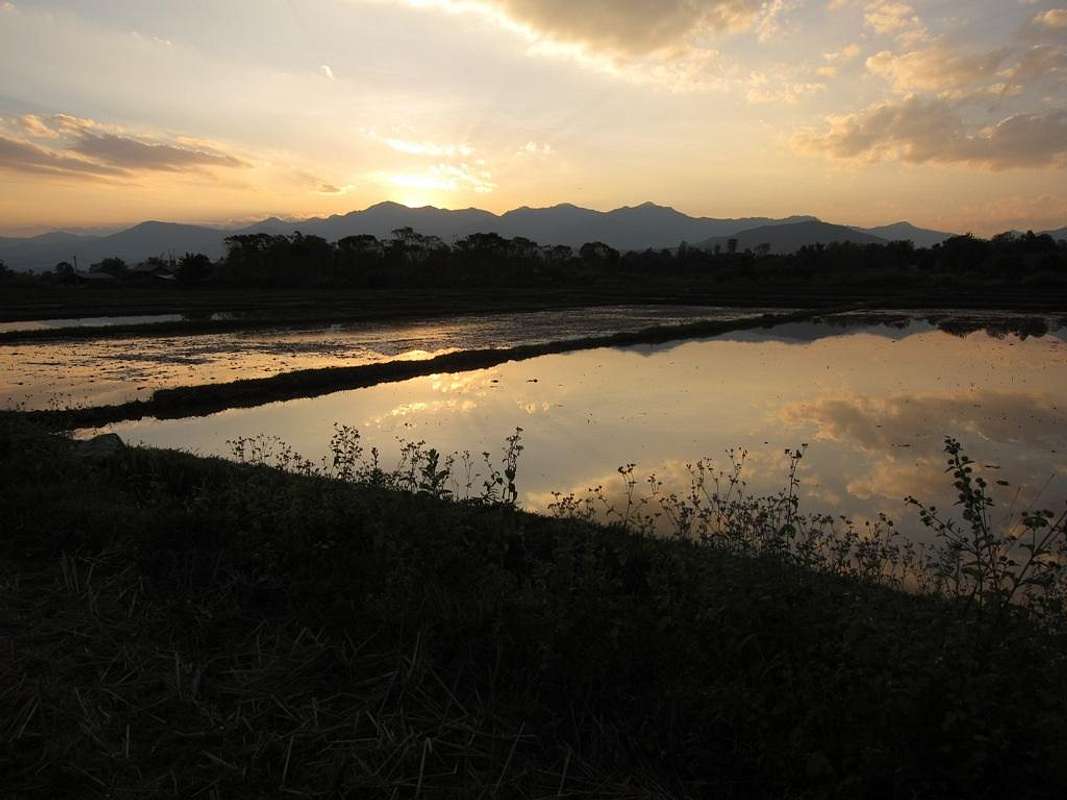
Doi Ang Khang
The view west to Doi Ang Khang (primarily a Thai tourist resort area) from the Route 107 bypass near the Doi Pha Hom Pok turnoff. December 2012
« PREV
NEXT »
mrchad9
on
Jun 26, 2013 1:01 am
Comments & voting
Other parents
Lat/Lon:
20.07089°N / 99.14204°E
Image ID:
854062
1763 Hits
83.69
% Score
17
Votes
Log in to vote
Comments
No comments posted yet.
to post!
Don't have an account?
Doi Pha Hom Pok
(Mountain/Rock)
You are at
the First
Image
Viewing
#1 of 1
GALLERY
You are at
the Last
Image
mrchad9's Image Gallery
« PREV
Viewing
#195 of 636
GALLERY
NEXT »
Doi Pha Hom Pok
(Mountain/Rock)
Loading....
×
You need to login in order to vote!
User Name
Password
Remember me
Forgot your password?
Log me out when I close my browser.
Keep me logged in all the time.
sign in as a user
Don't have an account?
Register now for FREE
Rating available
Suggested routes for you
People who climb the same things as you
Comments Available
Create Albums
Register Here


