Toggle navigation
Mountains
Routes
Images
Trip Reports
Forum
What's New
People
Areas & Ranges
Articles
Trailheads
Canyons
Huts & Campgrounds
Albums
Logistical Centers
Fact Sheets
Lists
Custom Objects
Gear
Plans & Partners
WELCOME TO SUMMITPOST
SIGN IN
REGISTER
Half Dome
Additional Parents
Snake Dike
Image
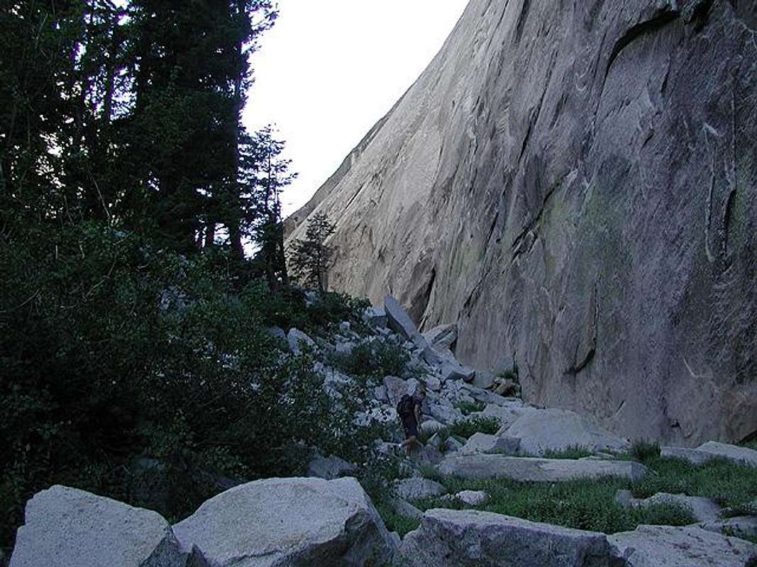
Josh hiking up the approach...
View High-Resolution Image
Josh hiking up the approach...
Josh
hiking up the approach route to
Snake Dike
as it travels between Mount Broderick and Liberty Cap (right side of photo) on June 29, 2002.
« PREV
NEXT »
John
on
Jul 1, 2002 10:33 pm
Comments & voting
Other parents
Lat/Lon:
37.74610°N / 119.5319°W
Image ID:
8163
4657 Hits
71.06
% Score
1
Votes
Log in to vote
Comments
No comments posted yet.
to post!
Don't have an account?
Half Dome
(Mountain/Rock)
You are at
the First
Image
Viewing
#1 of 1
GALLERY
You are at
the Last
Image
John's Image Gallery
« PREV
Viewing
#448 of 521
GALLERY
NEXT »
Snake Dike
(Route)
Loading....
×
You need to login in order to vote!
User Name
Password
Remember me
Forgot your password?
Log me out when I close my browser.
Keep me logged in all the time.
sign in as a user
Don't have an account?
Register now for FREE
Rating available
Suggested routes for you
People who climb the same things as you
Comments Available
Create Albums
Register Here


