Comments
No comments posted yet.

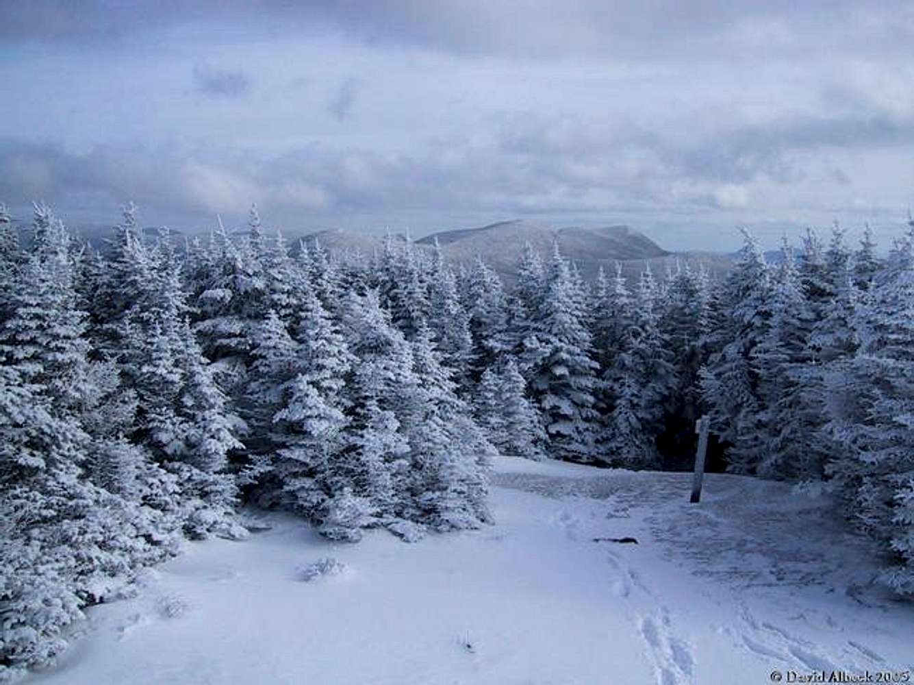
January 2005. Compare with same view in summer
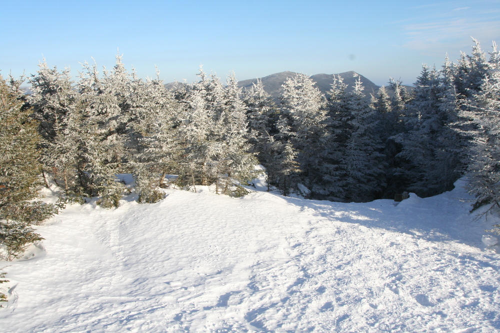
The trees are surely growing: Reduced view in February 2011. The reduced visibility could also be due to changes in the height of the cairn. In 2011 the cairn seemed smaller than I remembered, but that might be due to snow depth - note that the trail sign is nearly buried in the 2011 photo.


