Southeast ridge route

Southeast ridge route

Because the maps are so inaccurate I tracked my actual steps by GPS to make this map of the southeast ridge route. The Forest Road 110 goes right past the trailhead (TH). There is a parking area and big sign for Black Mountain at the trailhead (TH). Most estimates of the route distance are low. Although it is only about 3 miles to the summit plateau, the actual one-way distance to the true summit is more than 4.5 miles.
Larry V
on Jul 19, 2009 9:26 pm
Image Type(s): Topo/Diagram
Image ID: 531312

Comments

Post a Comment
Viewing: 1-1 of 1
Scott

Scott - Jul 22, 2009 10:05 pm - Voted 10/10
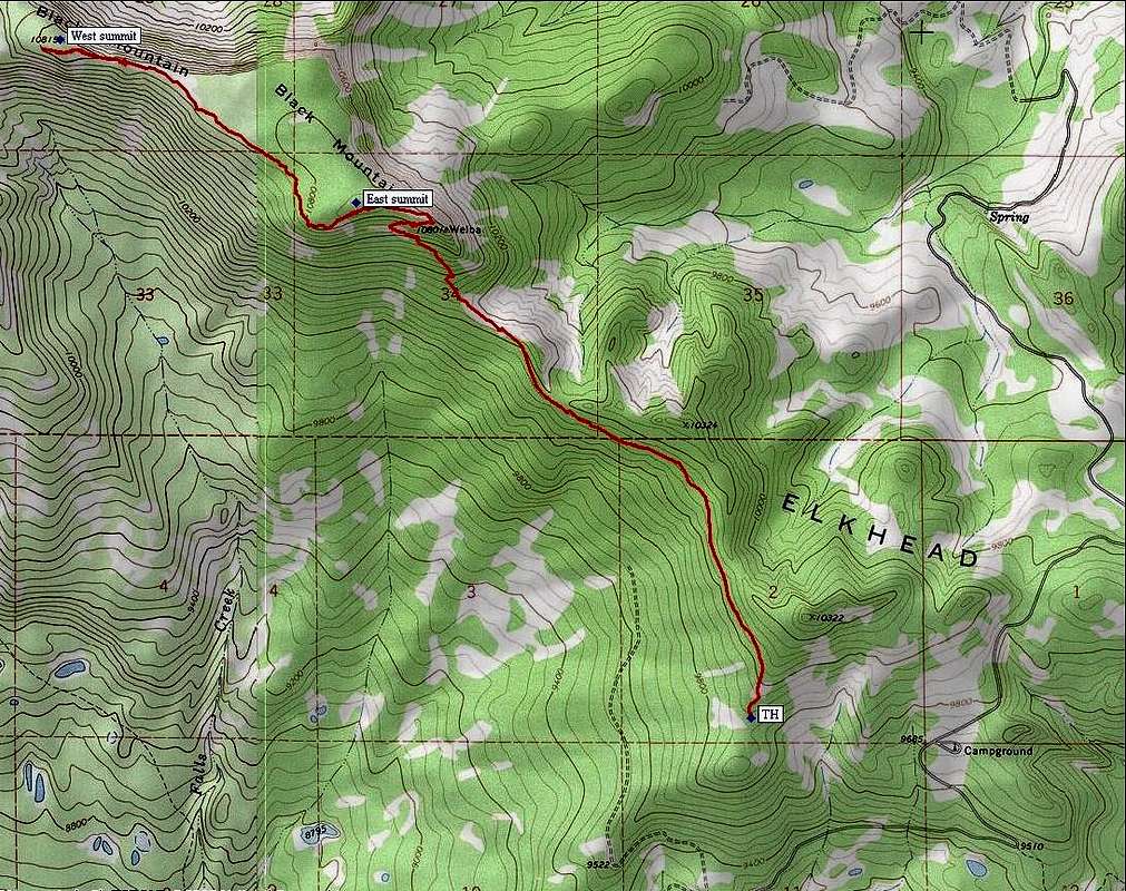
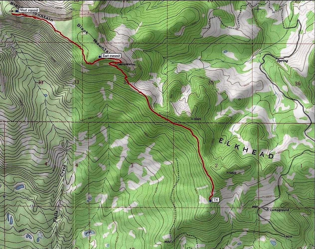
Thanks

Thanks for the map. The USGS maps are so screwed up for the Elkhead Mountains that it's hard to tell where any roads or trails actually are in the field. One of these decades, maybe they'll fix them.

I use the forest service maps and they are pretty accurate when it comes to showing roads and trails, but it's too bad that they are at such small scale.

Viewing: 1-1 of 1