
-
 950 Hits
-
 79.67% Score
-
 11 Votes
|
|
Mountain/Rock |
|---|---|
|
|
36.14001°N / 115.3545°W |
|
|
Hiking |
|
|
Spring, Summer, Fall, Winter |
|
|
3708 ft / 1130 m |
|
|
Topographic isolation: 280 m/920 ft
Nearest higher peak: Red Mountain (3998 ft/1219 m)
Prominence: 45 m/148 ft
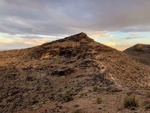
Overview
Gunfire Ridge is one of the hills of the Red Rock Canyon National Conservation Area, at its eastern border. It’s also called Gunsight Ridge. Both names might refer to the Deserts Sportsmans Rifle Club whose infrastructure was built at its foot, west of it.
From one aspect it is not a specifically interesting destination: the Red Rock Canyon National Conservation Area has several much more impressive peaks and rocks. They are posted here on SP.
On the other hand - for me who was just a visitor from Europe, it was a fantastic place, with its peculiar vegetation typical for the deserts of the North American continent. And I suppose it can be also interesting for those visitors from the northern states of the US who are not frequent visitors in the southern states.
OK, but why would anybody come here and not to any other peak?
- This is a summit that can be reached relatively easily (perhaps the most easily) from Las Vegas, even if you don’t have a car. It’s an aspect for a visitor in Las Vegas if he/she arrives by flight and doesn’t rent a car
- There is a (not very friendly) parking place at the trailhead
- There is an easy trail to the summit.
And really, Gunfire Ridge is a popular hiking destination.
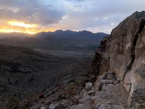
And what can you see from the summit?
- In eastern direction at the foot of the hill you can see the luxurious residential area of the western suburbs of Las Vegas
- In southwestern direction you can see the nearby Red Mountain
- In the northwestern direction you can see the La Madre Mountains. In front of it there are several lower peaks - among them the Turtlehead Peak. And behind the ridge of La Madre Mountains you can see the high Griffith Peak (3369 m/11053 ft).
Getting There
How to get there?
By car: take the West Charleston Boulevard of Las Vegas. Not far from the last buildings of the city you can find a large space appropriate for parking the car at the trailhead to Gunfire Ridge.
By public transport: travel to the terminal (Downtown Summerlin) of bus line 206, or get off one stop earlier. In any case you must walk a bit more than 3 km / 2 miles westwards along West Charleston Boulevard, in order to reach the real trailhead. The trail itself is 1.9 km/1.2 miles long.
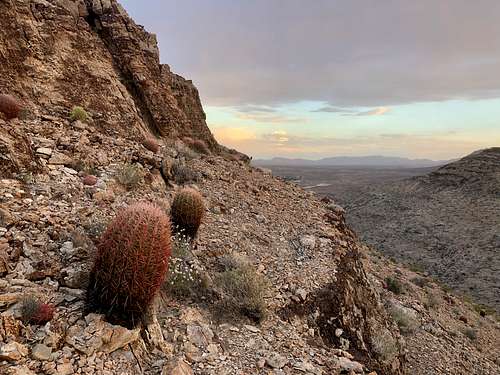
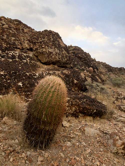
Vegetation
The flora that I could identify:
- California barrel cactus (Ferocactus cylindraceus)
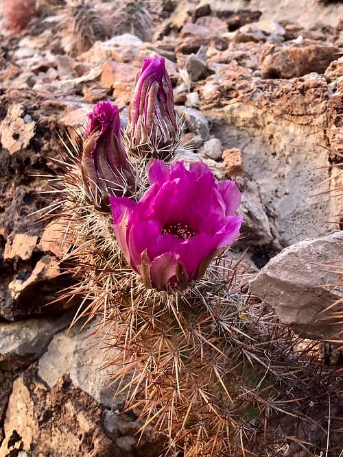
- Strawberry hedgehog cactus (Echinocereus Engelmannii)
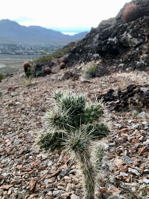
- Jumping cholla (Cylindropuntia fulgida)
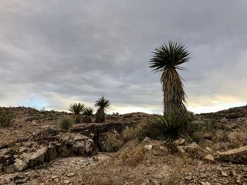
- Mojave yucca (Yucca schidigera)
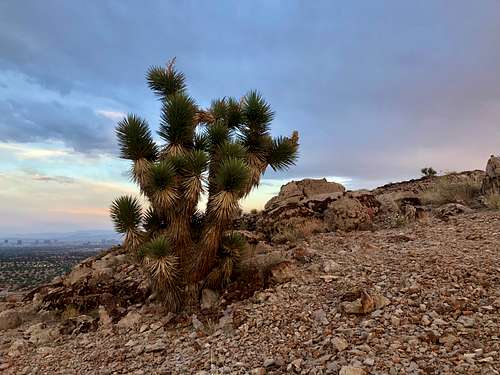
- Joshua tree (Yucca brevifolia)
- Utah butterflybush (Buddleja utahensis)
- Desert rock nettle (Eucnide urens)
When to Climb
You can hike to the summit in any season.
Map
For a good online map of the area you can click here